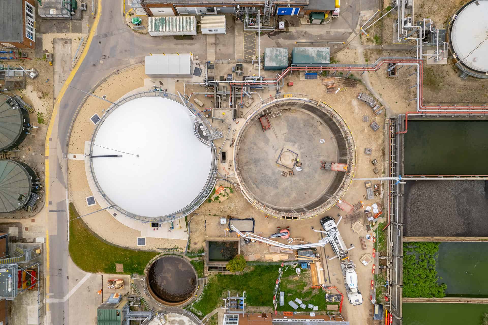
Satellite vs Aerial vs Drone vs Mobile Mapping
Explore the versatile world of image capture methods – Satellite, Aerial, Drone, and Mobile Mapping – and Learn which is the best method for environmental assessment and disaster response.
Explore the versatile world of image capture methods – Satellite, Aerial, Drone, and Mobile Mapping – and Learn which is the best method for environmental assessment and disaster response.
Product or partnership inquiries?
Interested in more info?
Send a request and we’ll be happy to help.

At Mosaic we are pushing the limits of HD mapping; our mission is to build a better view of the world.
Just like our cameras, our insights keep you up-to-date on Mosaic and the 360º world. Sign up to stay updated.

© 2020-2024 Mosaic. All rights reserved.
Branding & Design: Brandician
