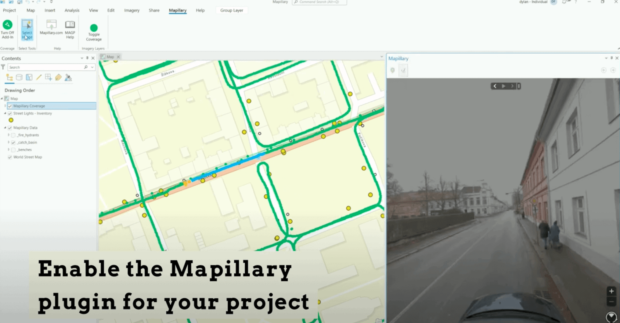
Integrating 360 Street View Imagery in ArcGIS: Enhancing Geospatial Visualizations with Mapillary
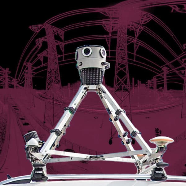
Unlock the full potential of ArcGIS with our guide on integrating Mapillary and Mosaic 360 cameras for dynamic street view imagery. Discover how to enrich your geospatial projects with up-to-date, panoramic visuals, and learn about the benefits of collecting your own data. Perfect for ArcGIS Pro and Web App Builder users seeking to leverage street-level imagery for insightful analysis and compelling map visualizations.

