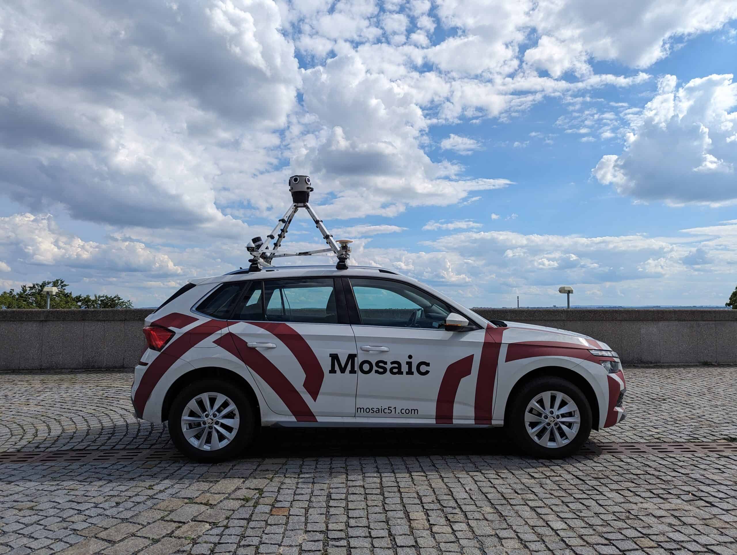
Exploring the Mobile Mapping Landscape – Where Does the Mosaic Meridian Fit?
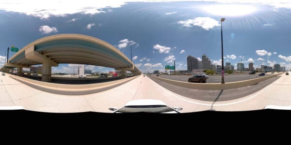
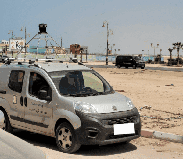
Looking for a mobile mapping system that balances precision, affordability, and usability? The Mosaic Meridian offers high-resolution imagery and optimized LiDAR data, streamlining workflows for urban planning, infrastructure monitoring, and asset management. Experience the future of mobile mapping with Mosaic.

