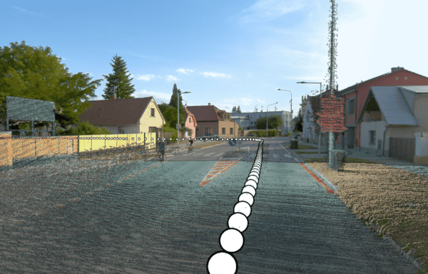
Reality Capture in the Geospatial Industry: GIS, Mapping, and BIM
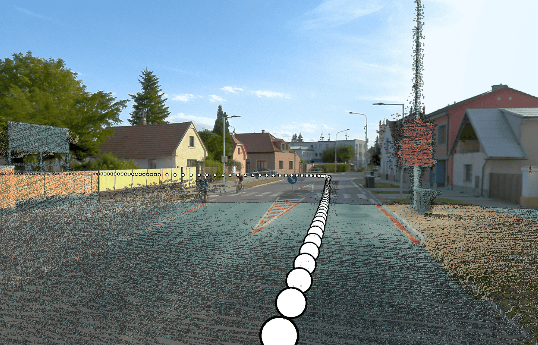
Reality capture technology is revolutionizing the geospatial industry by delivering unprecedented accuracy and efficiency. As professionals in GIS, mapping, and BIM increasingly rely on high-resolution digital models, the integration of cutting-edge tools like Mosaic’s mobile mapping cameras is driving innovation and improving workflows.