Mosaic Presents the Mosaic Meridian and Mobile Mapping Solutions at Intergeo 2024
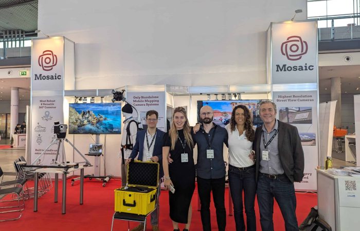
We had an incredible time at Intergeo 2024 in Stuttgart, showcasing Mosaic’s cutting-edge technology and connecting with industry leaders. Intergeo allowed us to highlight our full range of mobile mapping solutions, including the Mosaic 51, Mosaic X, Mosaic Xplor, and our latest innovation, the Mosaic Meridian Mobile Mapping System with integrated LiDAR. It was fantastic to see the positive responses from the community and witness firsthand the excitement around our products’ capabilities.
Unveiling the Power of Mosaic’s Product Line
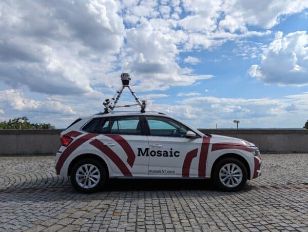
At our booth, visitors experienced Mosaic’s versatile 360° imaging solutions integrated with cutting-edge LiDAR capabilities. The Mosaic Meridian, in particular, captured significant attention as it combines the renowned Mosaic X camera—celebrated for its high-resolution 360° imagery—with Inertial Labs’ Resepi LiDAR/IMU system. This powerful pairing equips the Meridian to provide unmatched precision imagery and spatial data, perfect for high-demand applications like infrastructure mapping, city planning, and forestry management.
Discover more about the Mosaic Meridian below.
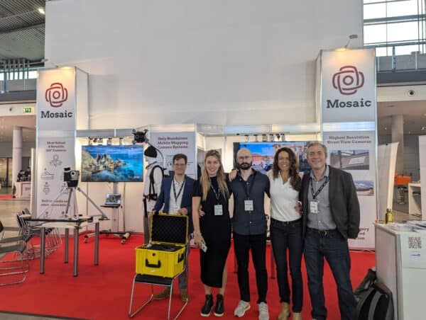
But first, check out our booth!
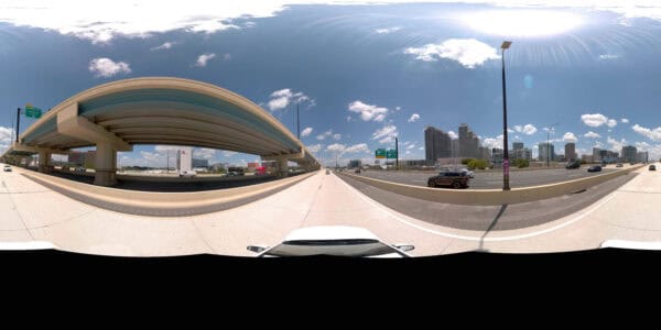
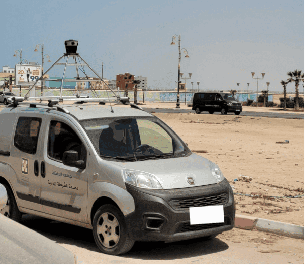
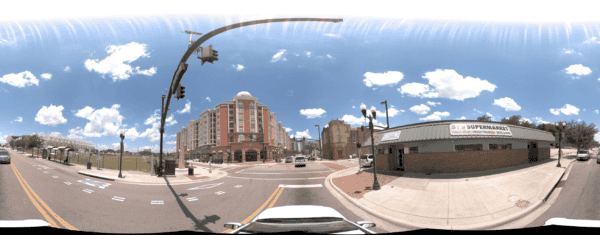
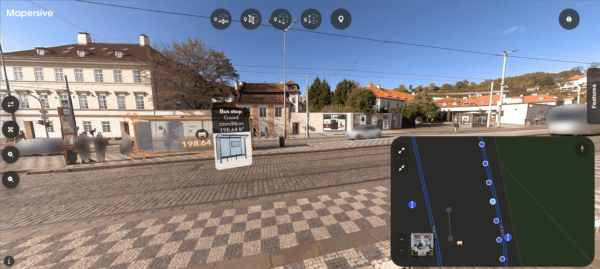
Those who joined us in Stuttgart got to experience several data sets as shown below.
And if you want to experience what it was like both on our booth and throughout the whole exhibition, then you have to check out this video here.
Our event recap video from Intergeo 2024 provides a glimpse into the real-world impact of Mosaic’s technology. See how industry professionals reacted to our demos, showcasing how Mosaic 360° camera systems empower users to efficiently collect and analyze critical data in diverse environments.
Mosaic X in Action for Data-Driven Mapping with Automatic Feature Extraction
Experience the power of Mosaic X’s high-resolution 360° imagery, which seamlessly integrates with platforms like GIS and mapping software to visualize and analyze complex datasets. This video demonstrates how Mosaic X captures intricate details crucial for infrastructure assessment, digital twins, and smart city planning in TopoDOT.
AI Classification with Mosaic Meridian and LiDAR
Watch Mosaic Meridian’s unique LiDAR integration in action, combining the Mosaic X camera with Inertial Labs’ Resepi system to deliver precise point cloud and imagery alignment. This solution offers users unparalleled detail and accuracy for applications in city infrastructure, forestry, and asset management, setting a new standard for mobile mapping. Brought to you by Pointly.ai
Exploring AI-Driven Asset Identification with 360° Imagery with Mosaic and Simerse
This video highlights Mosaic’s high-resolution 360° imaging, showcasing how our systems capture data ready for AI applications, including asset detection and analysis with Simerse. By integrating seamlessly with AI models, Mosaic’s technology empowers users in infrastructure mapping, urban planning, and more, offering valuable insights through detailed imagery and streamlined data processing.
Presentation Highlights with Jeffrey Martin and Leo Liu
Our CEO, Jeffrey Martin, presented alongside Leo Liu from Inertial Labs, our partner in developing the Meridian system. They discussed the unique advantages of combining high-resolution 360° imagery with flexible, AI-ready LiDAR data. The slides from their presentation are embedded here, giving an in-depth look at how Mosaic Meridian’s design caters to high-demand mapping environments like city infrastructure, forestry, and asset management.
As discussed in our recent article on the Mosaic Meridian, we see the Meridian making a significant mark in the market due to three key factors:
Superior Imagery and Data Alignment: The Meridian’s combination of Mosaic X’s high-resolution imagery with well-integrated LiDAR data produces exceptionally aligned point clouds and visuals, making it an ideal choice for creating digital twins and conducting asset inspections.
Ease of Use and Flexibility: Unlike traditional mobile mapping systems, which often require specialized technicians, the Meridian is designed for ease of adoption. This means operators can achieve high-quality results quickly, allowing for broader accessibility and flexibility across various industries.
Cost-Effective Solution: Balancing top-tier image quality with affordable LiDAR integration, the Meridian offers a solution that outperforms in quality without the excessive costs typical of other systems. This makes it particularly appealing for users needing efficient, frequent data capture without overspending.
With its seamless integration and adaptability, we believe the Mosaic Meridian stands out as a powerful, user-friendly solution that offers more control and efficiency than other mobile mapping systems on the market. Explore our YouTube channel for more demonstrations and case studies showcasing the Meridian in action.
Looking Ahead
We’re grateful to everyone who visited our booth and showed interest in our mobile mapping solutions. Mosaic is committed to pushing the boundaries in mobile mapping, and events like Intergeo affirm our dedication to delivering tools that make high-quality, accessible data collection possible.
For more videos of our products in action, check out our YouTube channel.
And if you didn’t join us this year – we hope to see you next year in Frankfurt!

