Top Technologies for Tracking and Identifying Roadside Assets
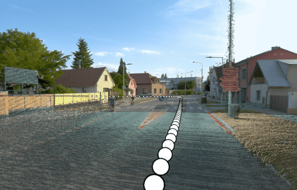
A roadside asset is an asset that enhances the functionality of a road and/or the safety of the road user. How do
A roadside asset is an asset that enhances the functionality of a road and/or the safety of the road user. How do

What does a MMS do? What data is collected with a mobile mapping system? What to consider when looking for a MMS?
Looking to scale rapidly, reduce operational costs, and capture better data? Find out more with a real telecom surveying case study.
Land surveying and cadastral surveying maps are incredibly important for land registries. See the newest technology helping surveyors.

Mobile mapping is seen as the future of BIM – building information modeling. See how Mosaic’s mobile mapping cameras are up to

The Mobile Mapping Systems that are ready to take on 2022 with point cloud capabilities, real-time processing, and fully integrated GNSS.