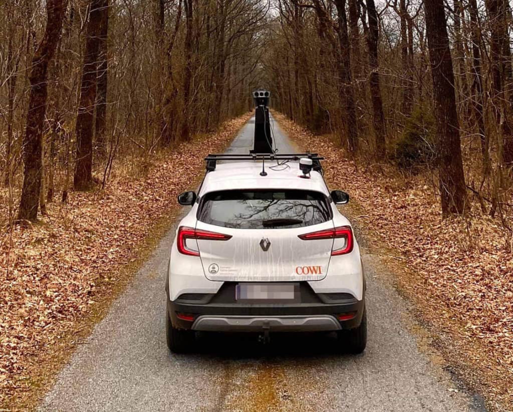
Extreme Image Resolution Meets Centimeter-Level Positioning
Previously mapping and surveying companies had to choose between high image resolution and high positioning accuracy. Now, they can easily achieve both – Mosaic 51 is fully integrated with external GNSS for easy RTK
