Challenge
You need to find a quick, cost-efficient method of collecting high-quality, photorealistic images of infrastructure assets, road conditions, and utility and telecommunication assets for inspection purposes.
Problem
Traditional tools such as LiDAR are expensive on the front end and require well-trained technicians. LiDAR point clouds, while highly accurate, are sometimes unnecessary and overly taxing for inspections that only require imagery.
Using point-and-shoot handheld cameras requires a lot of work on the backend. They need a lot of post-processing and are often inconsistent. They also take a lot of time to capture out in the field.
Drones are not reliable either. Many highly populated areas don’t allow drones due to strict laws. Due to the angle of the images and distance from the ground, drone also often does not provide adequate data.
Solution
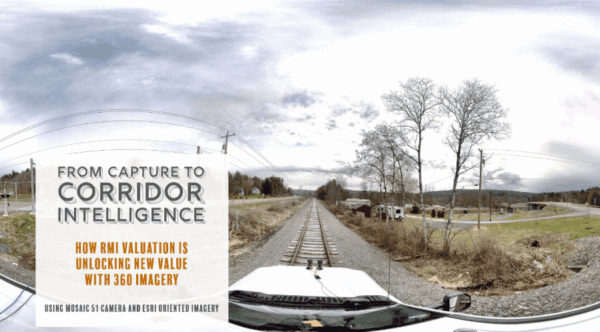
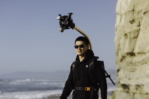
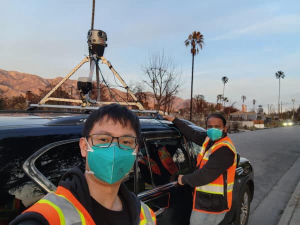
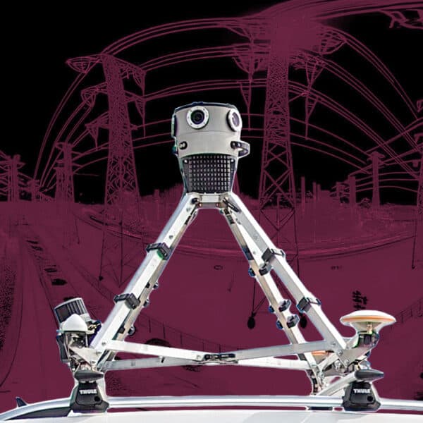
Imagine a 360º mobile-mapping camera system, capable of capturing high-resolution images at scale, faster than other methods, and at a lower price point. The Mosaic X has a lower entry price than other mobile mapping systems and can be operated by a single person with minimal training.
How long will it take to collect high-quality, photorealistic data adequate for creating a 3D model? One that users can use for infrastructure inspection, roadside asset inspection, or utility and telecommunication inspection?
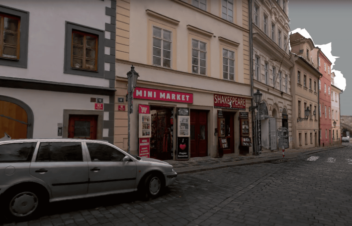
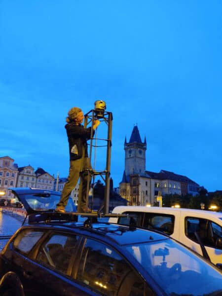
In just a couple of minutes, we mounted the Mosaic X camera on the roof of the car. Then, we drove through the streets at the speed of traffic. In only 48 seconds, we captured high-resolution data, which allowed us to build this model at maximum quality. It is possible to see the tiniest elements – road signs, landmarks, and signs on the houses. With its global shutter, the Mosaic X captures all the details in the best quality at normal driving speeds.
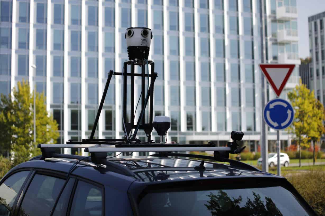
You can even use a motorbike and ride through narrower streets, where larger vehicles are not able to access. When you’re done shooting, just take the camera off and download the data from a flash drive. No waiting for external contractors or fumbling with multiple micro-SSDs.
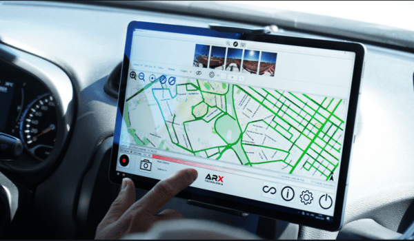
Ease and simplicity are at the core of the Mosaic X. It has a straight-forward and user-friendly interface that is easy to set up and operate. A single operator with little technical knowledge can collect data on infrastructure assets in the field.
And that’s not all – in addition to the 3D model, you’ll get automatically collected panoramic photos with precise GPS data and timestamps. These assets are reusable in other projects and are in a non-vendor-locked format. This mobile mapping camera is the most profitable way to quickly capture images and geo-referenced points at once! Use this data over and over again, sharing with clients and partners, building 3D models or creating your own Google Maps.
Look at this stunning textured mesh. It took us just 48 seconds to ride down the street in Prague with the Mosaic X to get the images for this high-level reconstruction:
Check out the details of the 3D model <a href=”https://ion.cesium.com/stories/viewer/?id=f49c69ed-b1d4-4061-a2f8-7eeca4c72fbb”>on Cesium and find more videos on our YouTube channel.

