Technology
Large-scale Photogrammetry for 3D Model Creation – No LiDAR
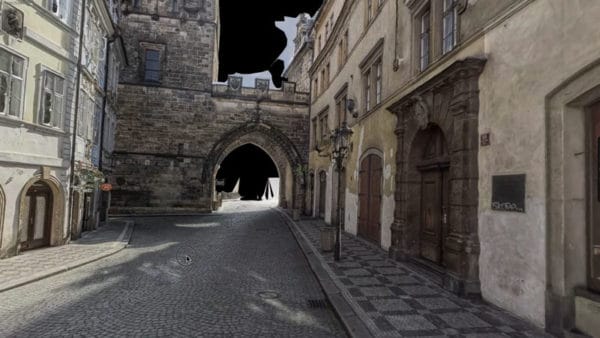
How is it possible to get large-scale 3D models of outdoor environments using photogrammetry and not LiDAR? Follow us!
How is it possible to get large-scale 3D models of outdoor environments using photogrammetry and not LiDAR? Follow us!
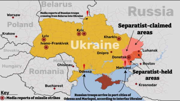
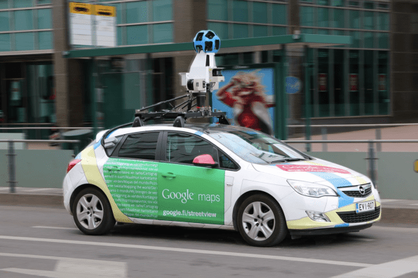
Maps have always been one of the best ways to share data. Maps of Ukraine in war and other geospatial technology highlight this.

February brought Jeffrey Martin – Mosaic CEO – into the limelight with several interviews and articles, including one video interview at Geo Week in Denver. Hear more about them here.
Check out our list of the top 5 best surveying cameras for mobile mapping in 2021. Specs, survey camera prices, and expert opinion on who is the clear winner.
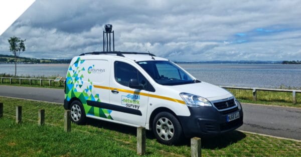
Looking to scale rapidly, reduce operational costs, and capture better data? Find out more with a real telecom surveying case study.
If you are curious about just how sustainable mobile mapping is and why or how it can contribute to a greener future, this post is for you.