Community
Mosaic Partners with Chulalongkorn University’s Smart Mobility Research Center
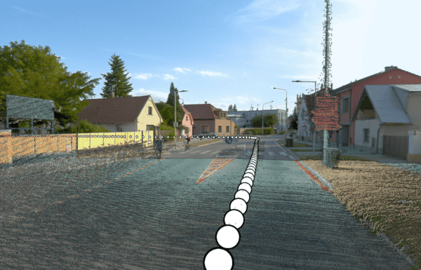
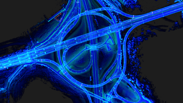
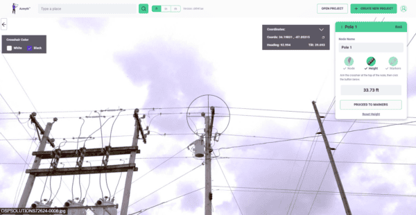
Mosaic’s collaboration with Chulalongkorn University’s Smart Mobility Research Center promises to improve 3D mapping capabilities to meet the needs of transportation infrastructure projects.