Community
Exploring the Importance of Remote Site Visits
Remote visits and surveys increase safety, efficiency and allow more decisions makers to take part. Learn more.
Remote visits and surveys increase safety, efficiency and allow more decisions makers to take part. Learn more.

The combination of 360 imagery with GIS, especially 3D GIS and Reality Mapping brings a new level of detail and immersion to spatial analysis and visualization.
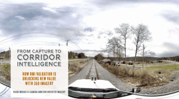
Combining thermal imagery and 360 street view for game-changing electrical grid surveying.
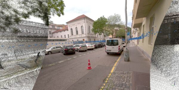
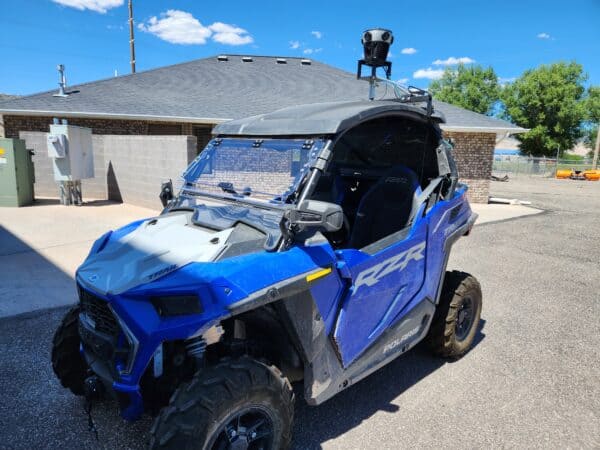
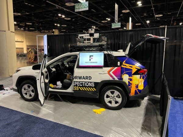
Accurate mobile mapping depends on precise positioning for a good trajectory. This article discusses trajectory creation, LiDAR vs photogrammetry accuracy, and the superiority of camera-based systems for accuracy.
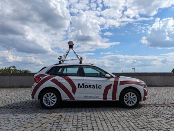
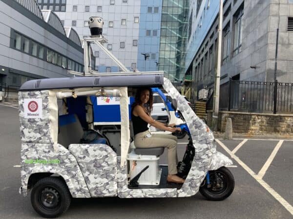
Mosaic launches the Meridian Mobile Mapping System, offering high resolution, high precision, in a user-friendly and attainable device, combing the Mosaic X with high res LiDAR, GNSS and IMU.
The University of Bradford uses Mosaic’s advanced mobile mapping technology to capture historic sites in detail. Since 2023, their Visualising Heritage team has developed a digital twin of Bradford, enhancing urban planning and historic exploration.