

Mapillary
Collaborative platform for street-level imagery. Users can upload unlimited images, which are processed for face and license plate blurring and analyzed to detect over 40 object types and identify more than 1,500 road signs. Results are georeferenced and made available for GIS applications.

Nodeology
Provides tools like Vidgeo for ArcGIS and Site Viewer 360, tailored for integrating geospatial imagery within the AEC (Architecture, Engineering, and Construction) industry.

Pano2VR
Versatile tool for creating immersive virtual tours, combining 360° imagery, videos, audio, and custom graphics for professional results. Perfect for marketing materials or curated highlights from Street View collections, but struggles with large-scale projects.

Simerse
AI-driven platform for mapping and managing infrastructure. It processes this imagery to identify and inventory assets, creating a detailed, shareable record. The platform includes tools for tagging, commenting, and exporting data to GIS or other formats

Mapersive
A customer-developed platform, recommends Mosaic cameras for seamless integration and enhanced functionality.

Vulcan Lines Tools
Their proprietary software - Azmyth - uses 360 street view imagery to streamline the planning and engineering for fiber-to-the-premises (FTTP, FTTX, FTTH) projects and infrastructure asset management.

AVAG Pro
Focused on drone data and geospatial analysis tools, offering solutions to manage and visualize aerial datasets.

Celantur
AI-powered anonymization for imagery and video, ensuring compliance with privacy regulations. Detects and blurs faces, license plates, entire people, and/or entire vehicles with on-site and cloud options for using their tool.

AerialSphere “XPGEO”
Transform complex location-based data into actionable insights, helping you visualize, manage, and integrate imagery effortlessly. Perfect for showcasing properties, land development projects, and more.

Urban Explorer
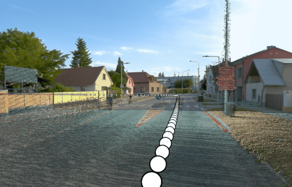
Focused on extraction of data from imagery. Their current focus is on pavement analysis, feature extraction and reporting on their own GIS dashboard.

ESRI ArcGIS
ESRI’s ArcGIS enables spatial data visualization, management, and analysis with advanced tools for oriented imagery and LiDAR. Mosaic imagery integrates directly with Oriented Imagery Layer tools, so no additional software or third party tools are required.

TopoDOT
TopoDOT is a point cloud processing solution designed for infrastructure projects. It enables precise 3D modeling and assessments for roadways, utilities, and other critical assets.

Pathfinder
Offered as a standalone product for visualizing panoramas, LiDAR, and extracted features. Use tools to annotate and make measurements in the online viewer.

Fior Innovations
Specializes in hosting both imagery and point cloud data, offering solutions that integrate diverse datasets for geospatial analysis.

Pointerra
A cloud-based platform for storing, visualizing, and analyzing large 3D datasets like LiDAR, enabling real-time access and sharing.

PCS (Point Cloud Scene)
What It Does: Offers a platform for manual and semi-automatic feature extraction from point clouds, combining GIS and CAD tools for enhanced functionality.

Pointly
A cloud-based platform for managing, annotating, and classifying 3D point cloud data. Streamlines workflows with efficient labeling, segmentation, and visualization for surveying, construction, and asset management.

TerraSolid
Provides advanced tools for point cloud visualization, feature extraction, and classification. Widely used for infrastructure and road projects.

Autodesk Software
Covers a wide range of engineering and design needs. Includes tools for point cloud display (ReCap), 3D modeling (Revit, Civil3D), and full BIM project management.

Bentley
Known for software catering to infrastructure projects like road and railway design, with strong plug-ins like TopoDOT and TerraSolid for added functionality.

Mapillary
Collaborative platform for street-level imagery. Users can upload unlimited images, which are processed for face and license plate blurring and analyzed to detect over 40 object types and identify more than 1,500 road signs. Results are georeferenced and made available for GIS applications.

CloudCompare
A free, open-source software for visualizing, analyzing, and processing LiDAR data. Ideal for academic use or small-scale applications.

Geo-Plus
Software solutions for land surveying, civil engineering, and point cloud processing since 1987. Their Vision suite includes over 16 applications, such as VisionLidar and VisionCivil Pro, which integrate with platforms like AutoCAD and MicroStation.

Skyline
Process, build, analyze, save, and share your 3D/2D geospatial data.

Agisoft Metashape
Stand-alone software product that performs photogrammetric processing of digital images and generates 3D spatial data to be used in GIS.