Highest-Resolution 360° Cameras & Mobile Mapping Solutions for Professionals

Industrial-grade mobile mapping camera systems for 360º street view data capture. Scalable, cost-effective, and precise mapping solutions.

Choosing the right 360° camera or mobile mapping system is crucial for capturing high-quality imagery, optimizing workflows, and ensuring precise data collection. 

Mosaic’s industry-leading 360° cameras and mobile mapping systems enhance accuracy, efficiency, and workflow optimization across industries. 

Compare our products to find the perfect fit for your professional surveying, mapping, infrastructure inspection, asset management and inventory, VFX project, or AI/ML training projects.

Get the Job Done with Mosaic

Standalone Systems

Reliably capture high-resolution 360° imagery in any climate with a single operator.

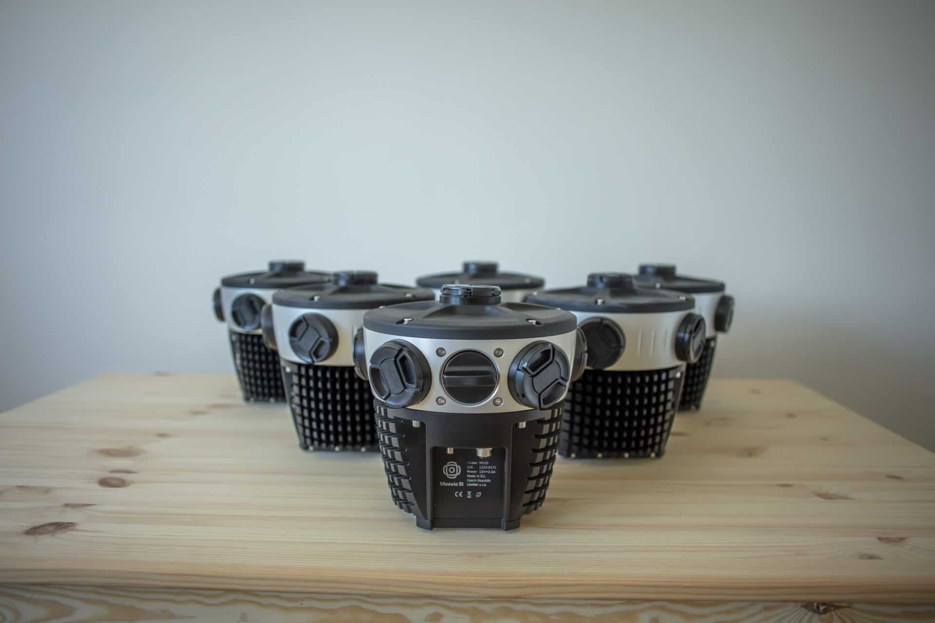
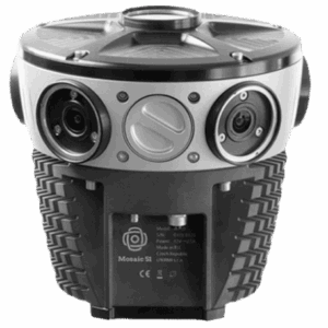
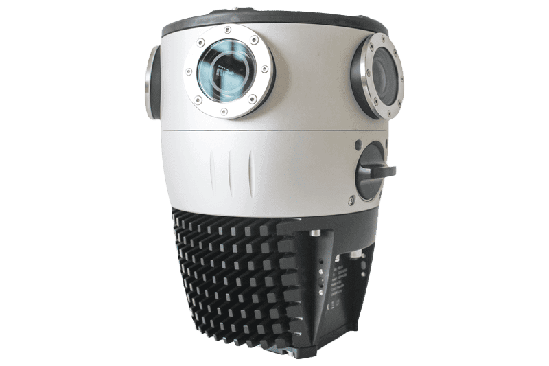
MOSAIC 51

Reliable 360° Mobile Mapping for Everyday Surveying & GIS

  • Best for: GIS professionals, surveyors, asset managers
  • 12.3K resolution for true clarity of your assets
  • All-in-one-solution, on-board GPU, no computer necessary
  • Industrial grade construction, ready for any environment

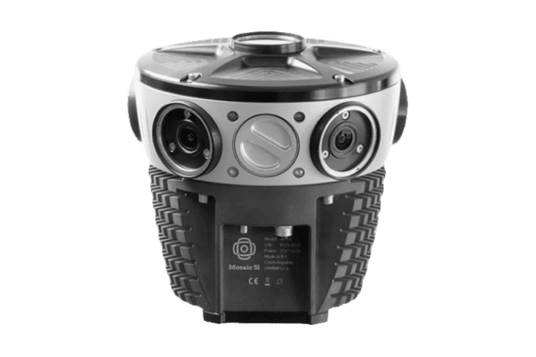
MOSAIC X

Fast & Precise 360° Street View Mapping

  • Best for: City-scale mapping, autonomous vehicle training, reality capture
  • 13.5K resolution
  • Seamless blend of speed and precision for 360° street view mobile mapping.
  • All-in-one-solution, on-board GPU, no computer necessary

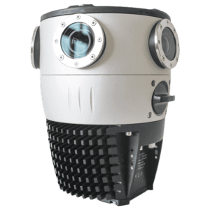
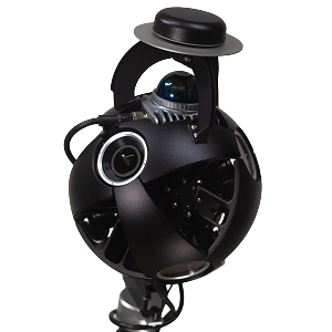
VIKING

The world’s highest resolution mobile mapping camera

  • Best for: High-precision surveying, digital twins, reality capture
  • 20K resolution for the clearest street view available
  • Large APS-C visualize every detail in the image 
  • Customize with additional sensors as needed

Systems with LiDAR

Combine state-of-the-art 360° imagery with LiDAR for a precisely synchronized spatial dataset.

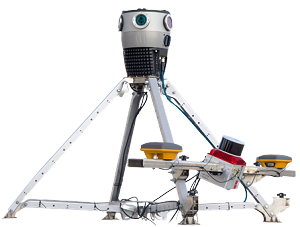
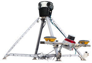
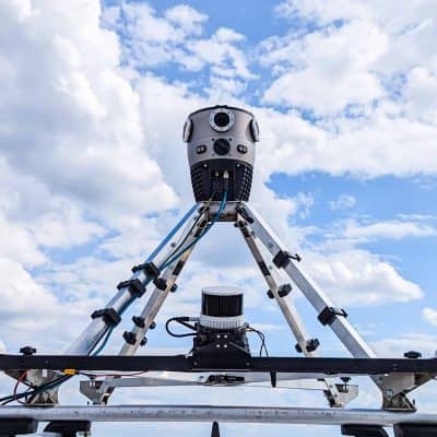
MOSAIC MERIDIAN

Integrated 360° mobile mapping with LiDAR precision—efficient, versatile, and cost-effective.

  • Best for: Surveying, infrastructure monitoring, autonomous navigation
  • 91.2 MP Images
  • LiDAR Accuracy: 2–3 cm / Precision: 2–4 cm / Range: 120 m
  • Integrated INS: Position Accuracy: 1 cm + 1 ppm (RTK); 0.5 cm (PPK)
  • 83 x 120 x 81 cm, 15 kg (including mount)
  • Fits standard roof racks

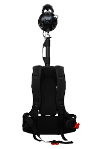
MOSAIC XPLOR

360º Mobile Mapping Backpack to explore, capture, and analyze hard-to-reach environments.

  • Best for: Urban mapping, railway inspections, industrial surveys
  • Revolutionary 13.5K Resolution
  • 360º Spherical Panorama Capture
  • 6x Camera Sensors
  • Cutting-Edge 360º x 120º LiDAR Capture
  • Lightweight 7 kg / 15.4 lbs (& only 2.5 kg / 5.5 lbs overhead)
  • Capture at up to 25 km/h or 15 mph

Common features for all Mosaic cameras systems

  • Mosaic 51
  • MOSAIC X
  • Viking
  • XPLOR
Mosaic 51MOSAIC XVikingXPLOR
The most durable
Speed meets accuracy
THE highest resolution
On foot or scooter
Sensor TypeRolling shutterGlobal shutterGlobal shutterGlobal shutter
Weight4.6 kg / 10 lbs7 kg / 15 lbs30 kg / 66 lbs 7 kg / 15 lbs
(2 kg overhead)
Equirect. Resolution75.5 MP91.2 MP200 MP91.2 MP
PIxel Size1.55² microns2.74² microns3.45² microns2.74² microns
Temperature Range0º to 45 °C
32º to 115 ºF
0º to 45 °C
32º to 115 ºF
0º to 45 °C
32º to 115 ºF
0º to 45 °C
32º to 115 ºF
IP RatingIP67IP67IP67IP67
StorageOnboard 1TB SSD
(hot swappable)
Onboard 1TB SSD
(hot swappable)
6x4TB 3.5” SATA SSD Onboard 1TB SSD
(hot swappable)
LiDAR EnabledCustom IntegrationPart of MeridianCustom IntegrationYes
Data Stored OnboardTimestamp Log (CSV),
Raw GNSS Track (GPX),
Synced GNSS Trajectory (GPX),
Six Videos (MP4)
Timestamp Log (CSV),
Raw GNSS Track (GPX),
Synced GNSS Trajectory (GPX),
Six Videos (MP4)
Timestamp Log (CSV),
Raw GNSS Track (GPX),
Synced GNSS Trajectory (GPX),
Six Videos (MP4)
Timestamp Log (CSV),
Raw GNSS Track (GPX),
Synced GNSS Trajectory (GPX),
Six Videos (MP4) + LiDAR Data (LAZ),
IMU Data (CSV)
Learn moreLearn moreLearn moreLEARN MORE
MosaicX_LiDAR_Meridian

Why Choose Mosaic

We are the go-to choice for professionals who need rugged, scalable, and high-performance mobile mapping solutions.

Mosaic 360° cameras and mobile mapping systems offer a unique combination of unmatched resolution, affordability, and reliability.

While other solutions often require complex setups, additional software licensing, or vendor-locked workflows, Mosaic provides a cost-effective, all-in-one alternative that integrates seamlessly into any mapping pipeline.