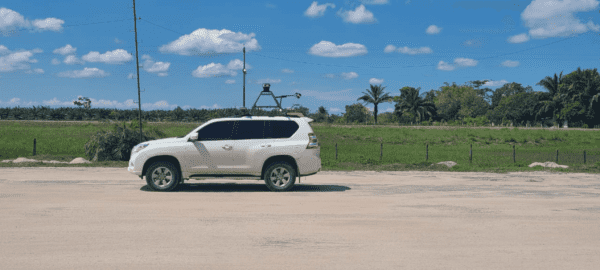
Using Mosaic 51, a 360º Mobile Mapping Camera for Electrical Grid & Road Inspection
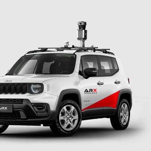
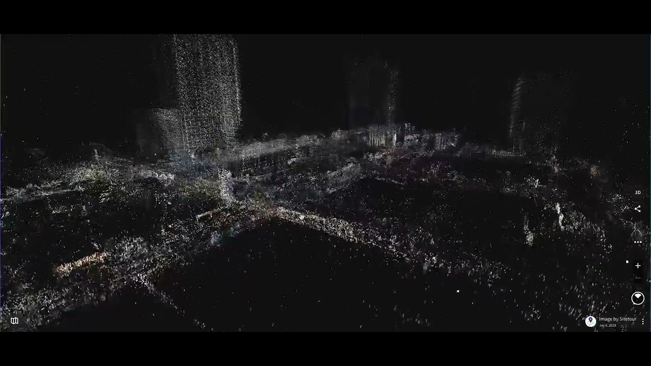
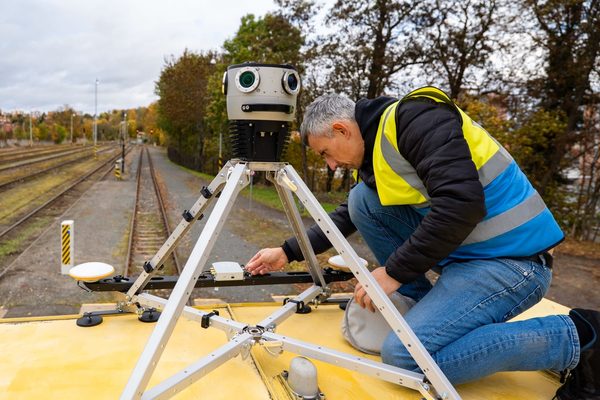
Case study: Dymaxion integrates LiDAR with Mosaic 51 for electrical grid and road inspection

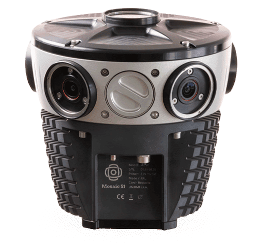
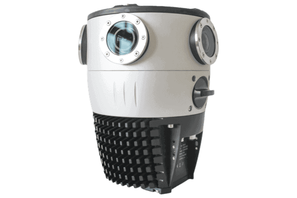
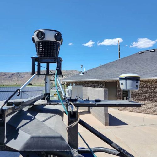
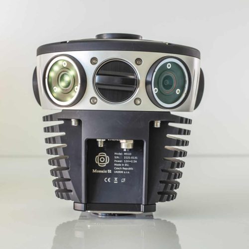
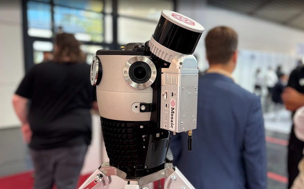
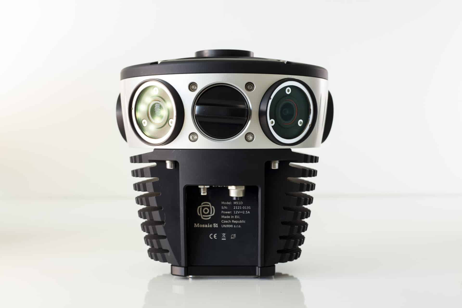
Most durable, precise and practical panoramic 360º camera for urban mapping & surveying.
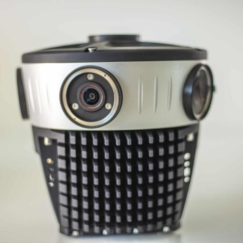
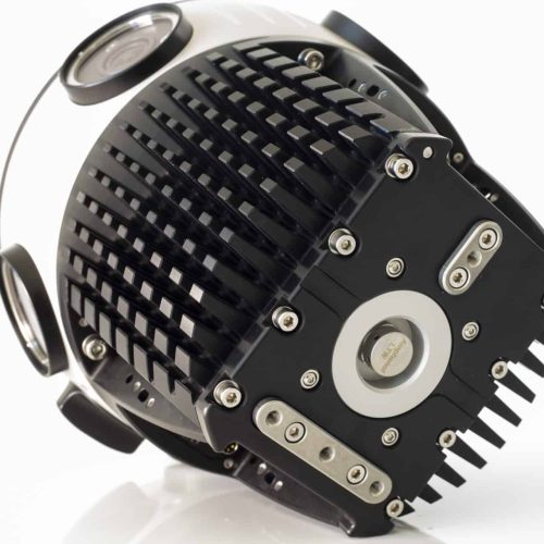
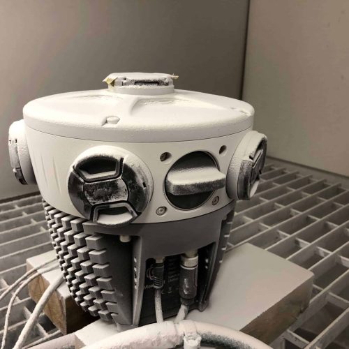
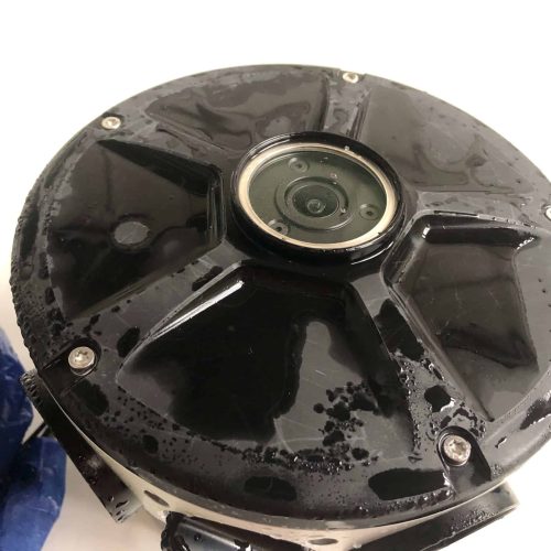
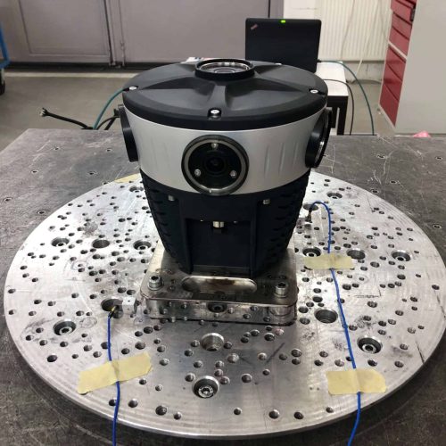
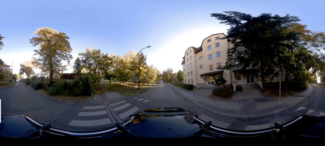
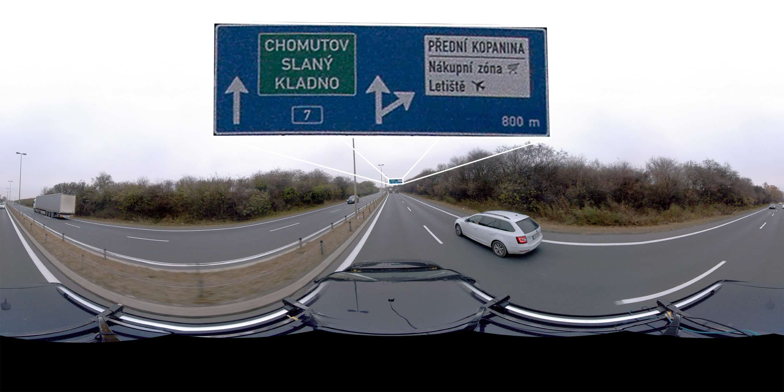
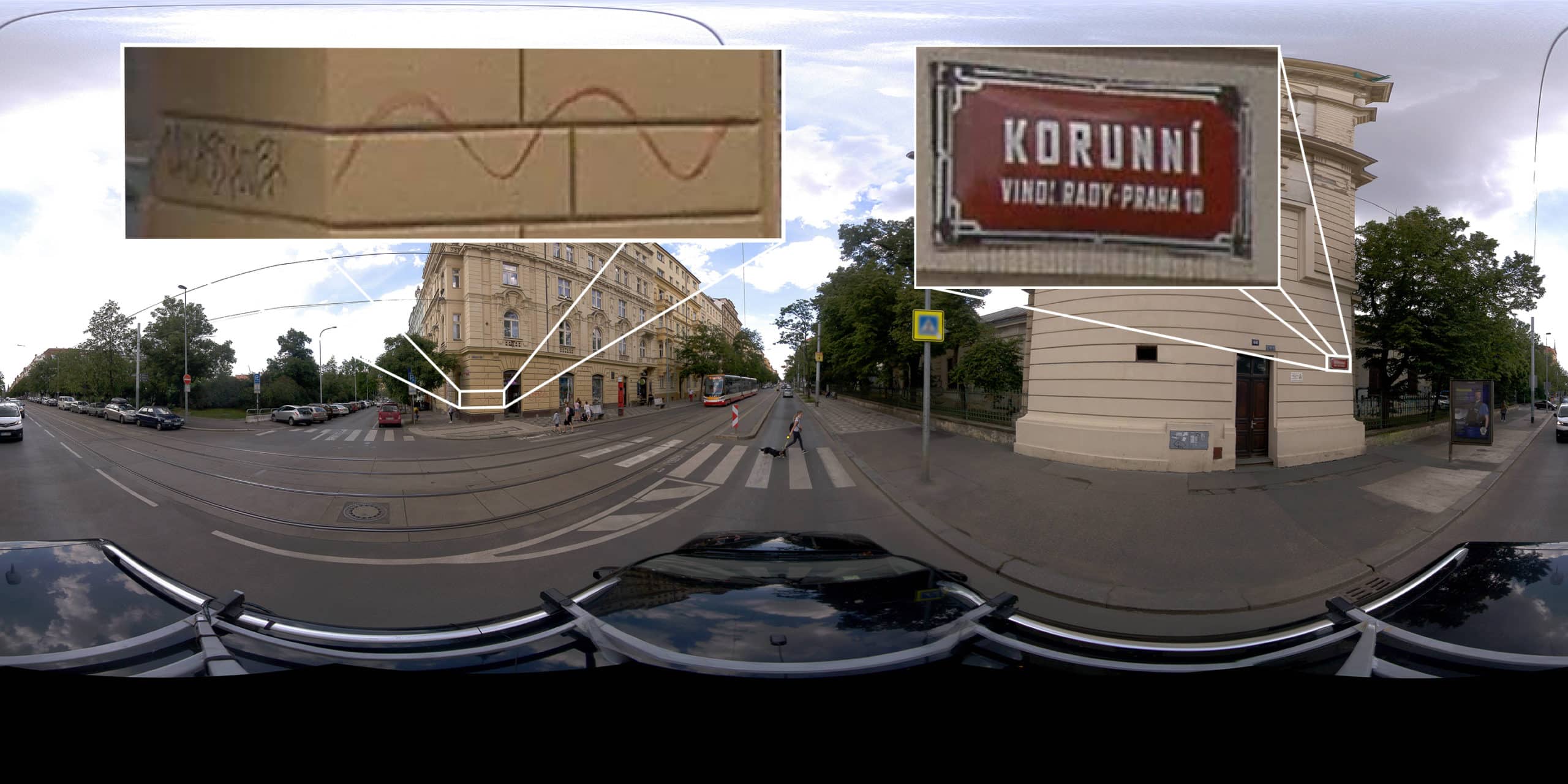
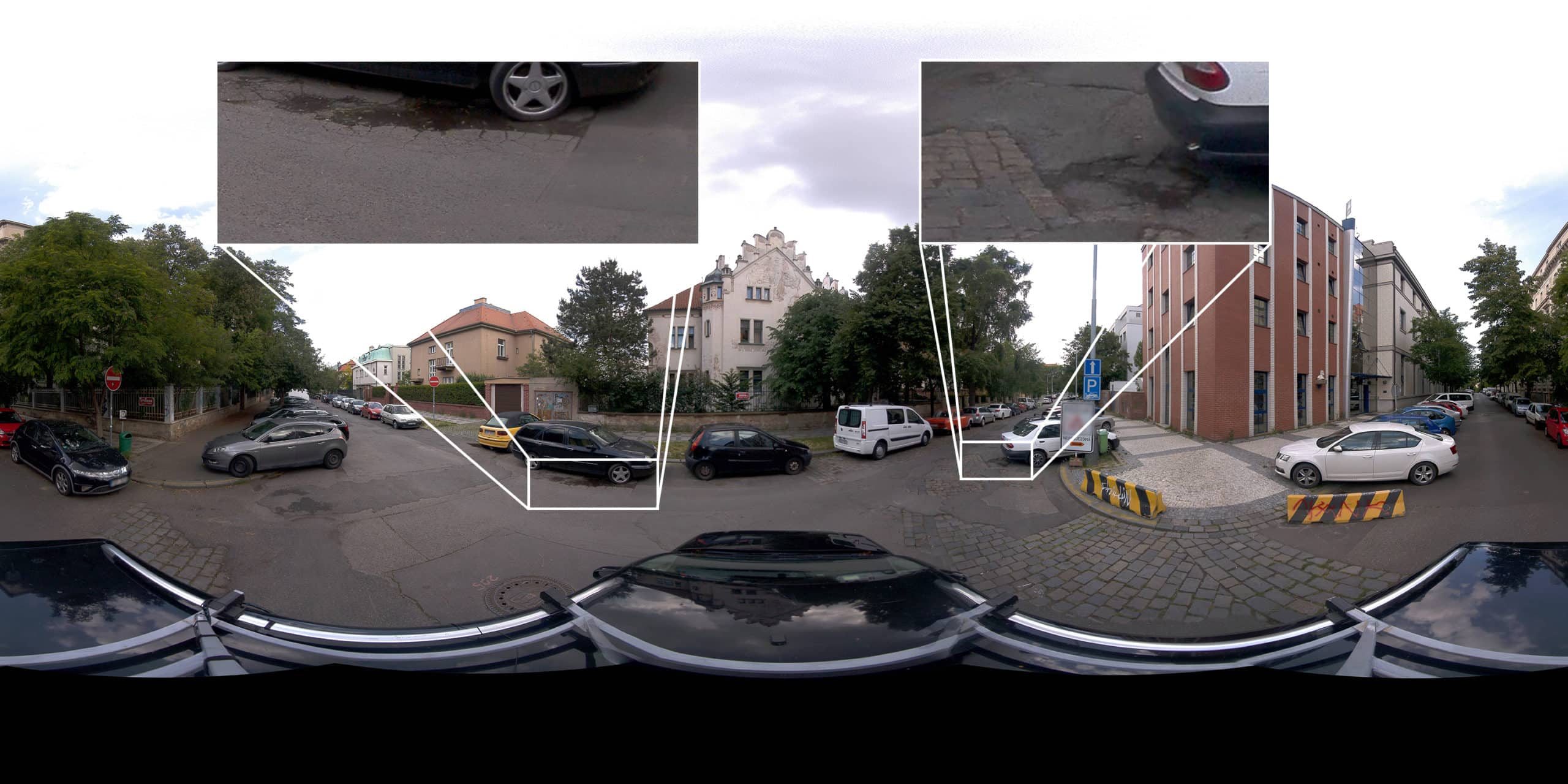
Purpose-built, AI-compatible, rugged 12.3K-resolution panoramic 360º camera for HD surveying, GIS, and infrastructure inspection.


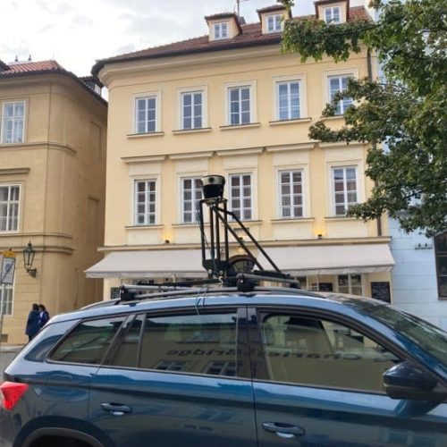
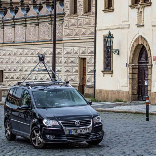
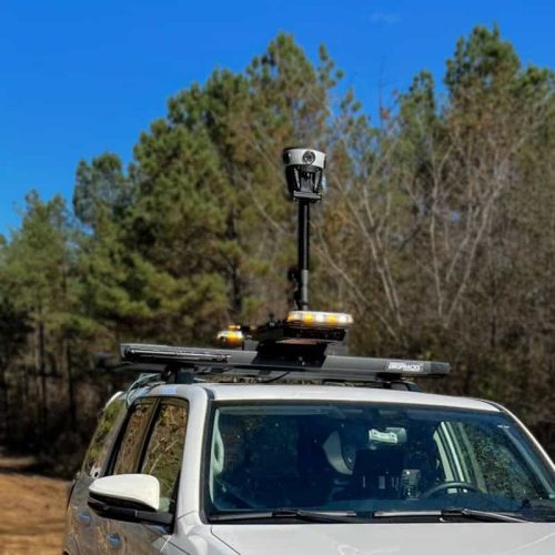
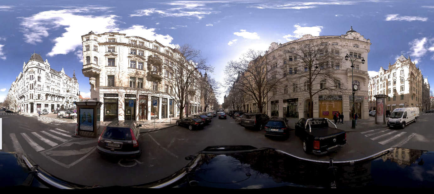
With the highest resolution, standalone unit, you can quickly capture the necessary street-level images of your sites, streets, and towns to make better informed decisions.
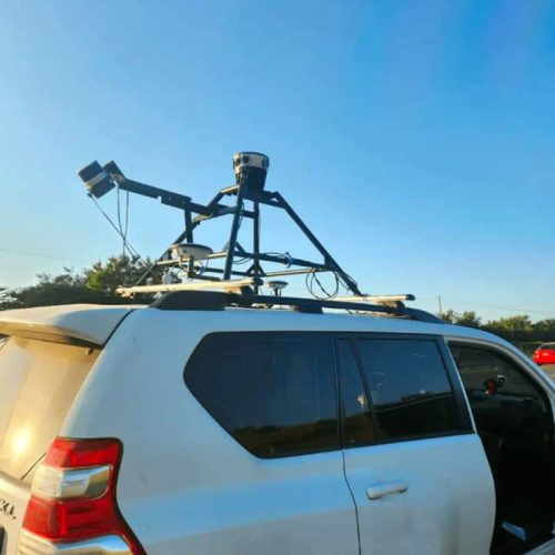
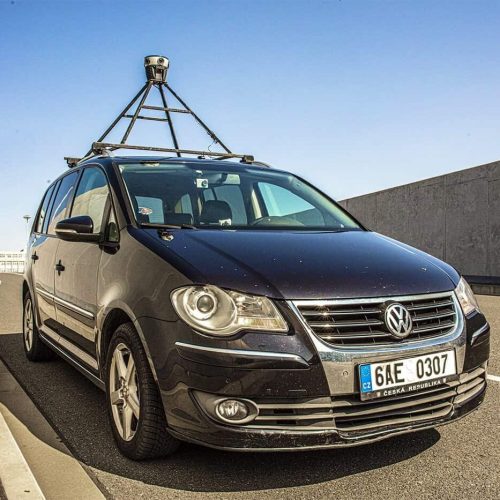
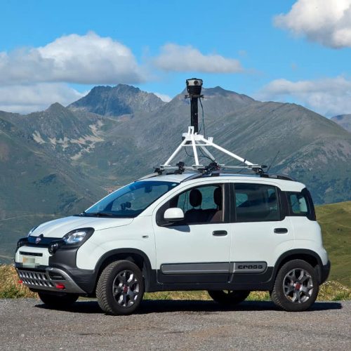
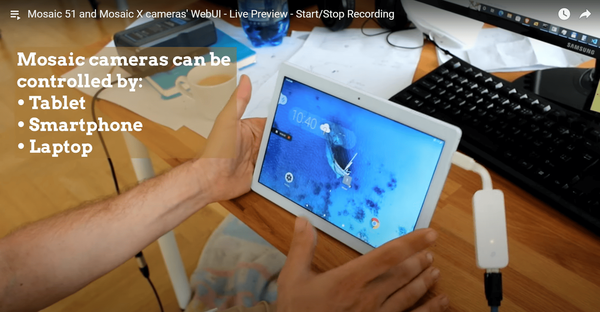
The Mosaic 51 was built to be easy to use, requiring only one person who is both driver and operator. No need for lengthy training, a computer on board, or repeat site visits. Capture one time and utilize ten fold.
With a robust device you can count on and which collects data faster, win more proposals, fulfill deadlines on time and build more trust with clients.
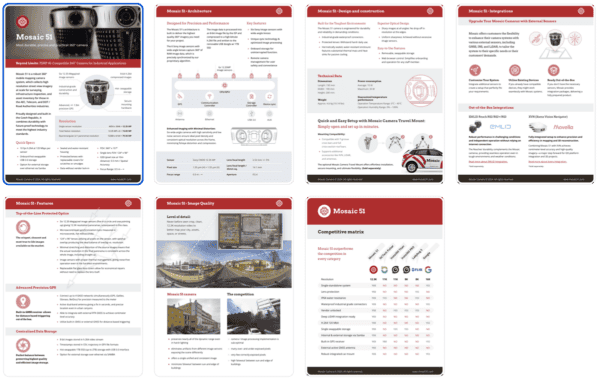
Request a 7-page PDF for all Mosaic 51 Camera information:
A faster setup, more precise positioning, a smarter workflow – the upgrades that quietly do the heavy lifting behind every great capture. All are compatible with Mosaic 51 and Mosaic X cameras.
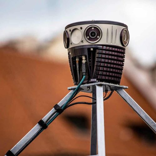
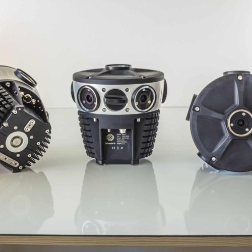
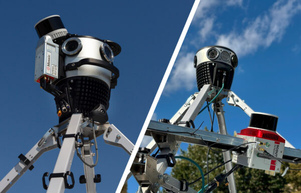
Mosaic 360 cameras are designed to work with whatever setup fits your project, so you’re never locked into a single configuration.
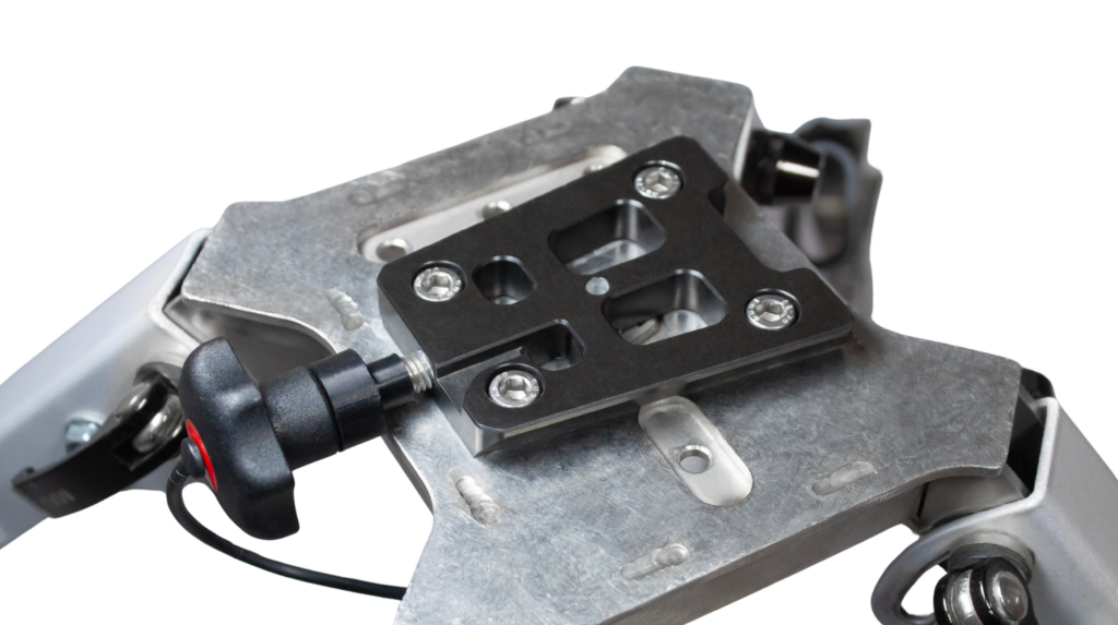
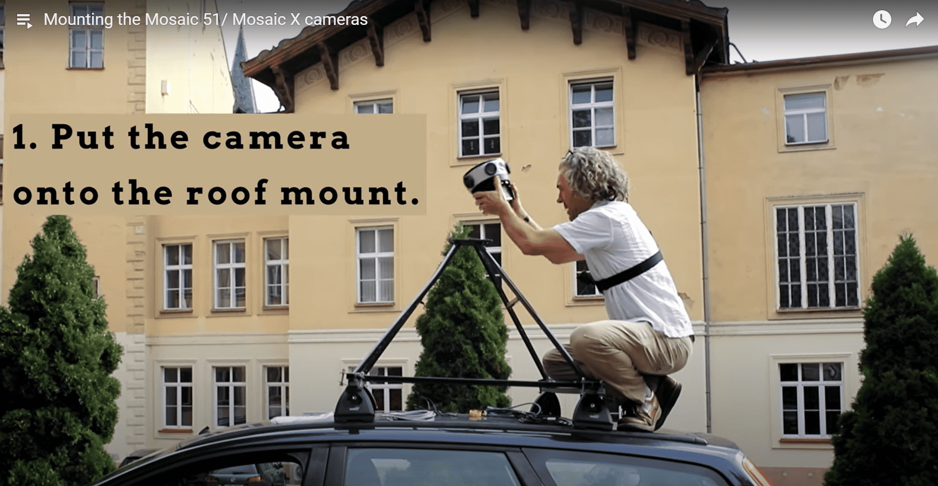
For teams that need to move fast and travel light, the Mosaic Travel Mount is one of our most popular accessories. Compact enough to pack in minutes, quick to deploy on-site, and built to keep up with field teams who don’t have time to slow down.
A dedicated plate stays attached to your Mosaic camera at all times, so mounting becomes a single, confident motion: slide, click, secure. No fumbling, no second-guessing. Removal is just as fast.
The result? 5-10 minutes saved on every setup and takedown, adding up quickly across a full project schedule.
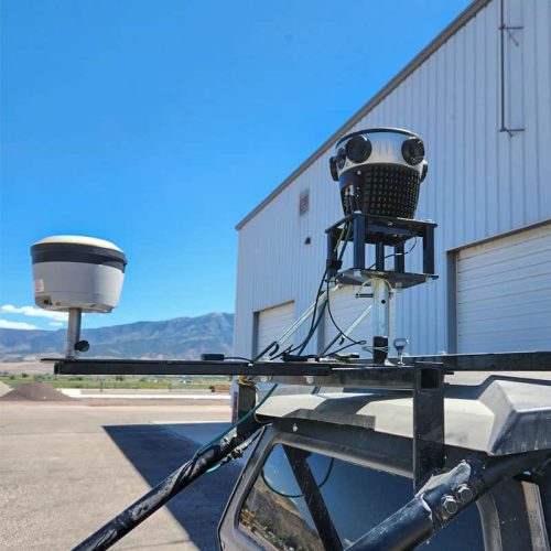
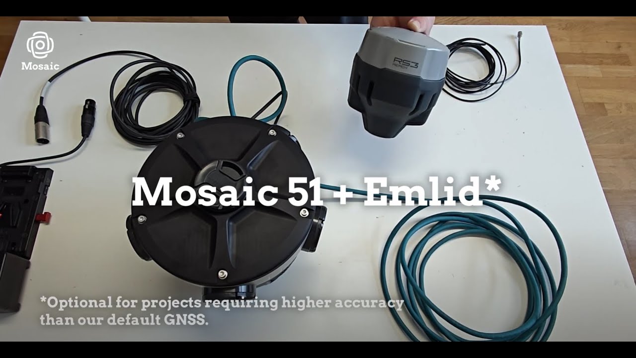
When your projects demand centimeter-level accuracy, whether for detailed infrastructure surveys, complex urban environments, or areas with unreliable GPS, the Xsens Vision Navigator delivers the IMU and precision GNSS needed for accurate camera pose, tilt, and positioning.
The XVN provides RTK position accuracy of 1cm + 1 ppm for professional mapping and spatial data workflows.
For projects where positioning accuracy is non-negotiable, the Emlid Reach RS2, RS2+, and RS3 are multi-band RTK GNSS receivers that pair directly with your Mosaic camera, getting a fixed solution in seconds and maintaining robust performance even in challenging conditions, with centimeter accuracy up to 60 km in RTK and 100 km in PPK mode.
Already a customer? Contact your sales representative for more details.


There’s no better testament to product quality than real customer experiences. Delve into our case studies to explore the challenges we’ve successfully addressed!

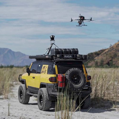
Case study: Dymaxion integrates LiDAR with Mosaic 51 for electrical grid and road inspection
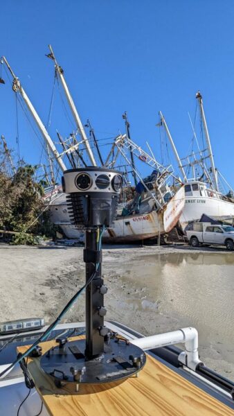
How Mosaic 51 customer created a solution for time-sensitive post disaster data collection and management
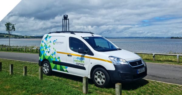
Looking to scale rapidly, reduce operational costs, and capture better data? Find out more with a real telecom surveying case study.

Get a short summary of ALL of our customer case studies to see how teams across different industries are using this mapping solution for real-world.
See who benefits from the purposely-built Mosaic 51:
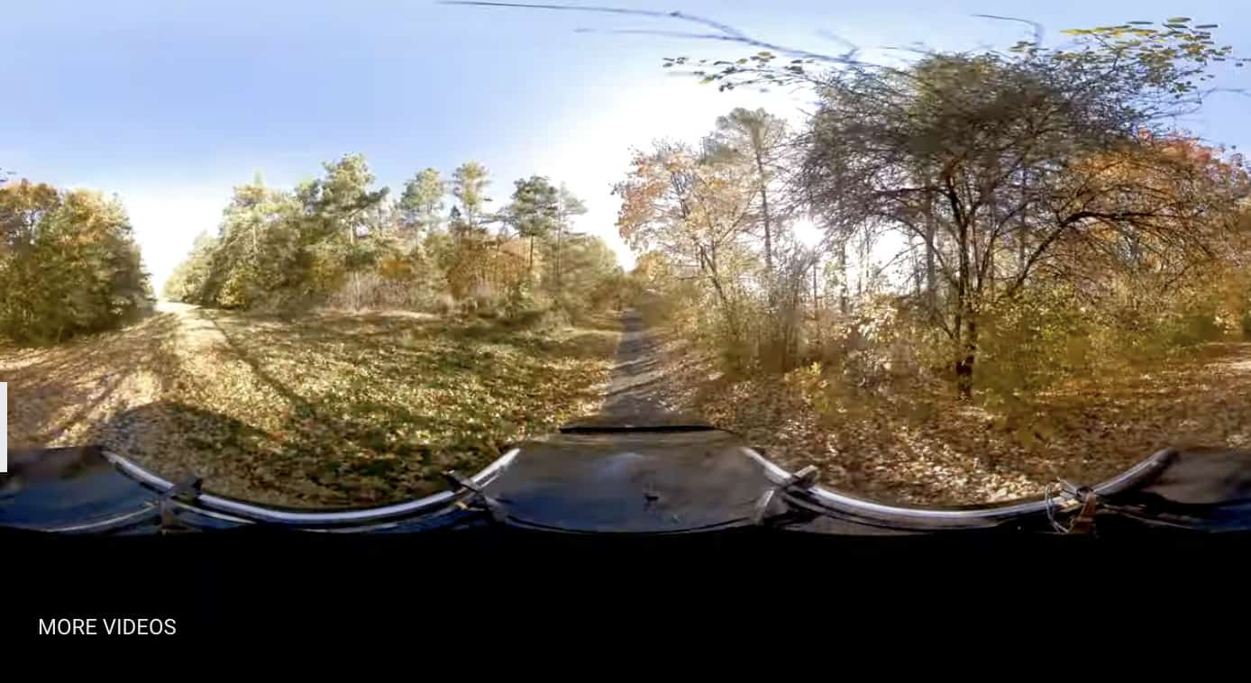
Travel more places, collect data faster than before, and ensure that you are mapping all of the streets, roads and trails within your scope, with a street-level view in 360º.
Gain a better view of your powerlines, right of way, telephone poles and more. Capture the highest quality images with the least amount of work.
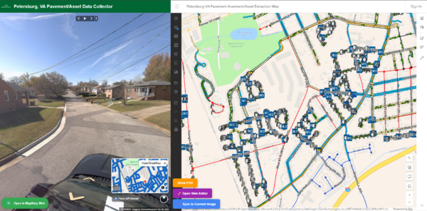
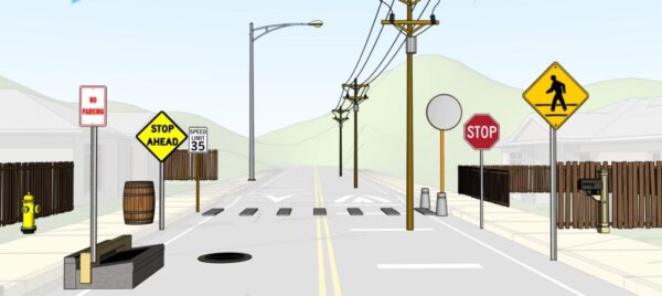
Know what services are or aren't already in your community. Keep an inventory of street furniture and their conditions. Create a better environment for your citizens.
Ensure greater safety and prolong the life of current infrastructure with more consistent maintenance checks. Have the data to react faster to potential risks.


Check out our How-To videos and master the operation of Mosaic 360° Panoramic Cameras with step-by-step guidance. Get reliable data for street view and asset management effortlessly! 👉🏽