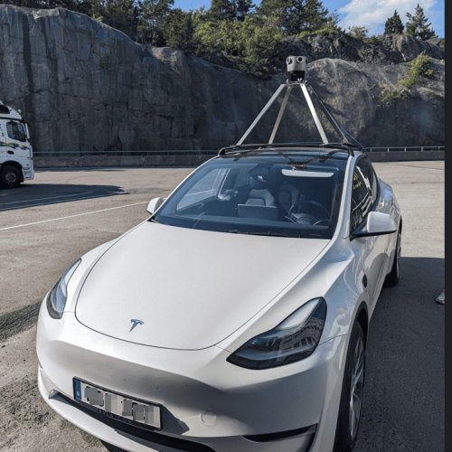
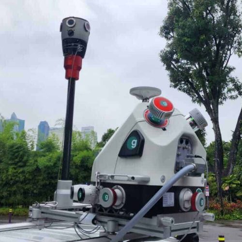
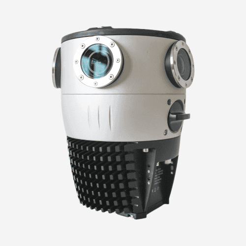
I was pleased to see the great image quality that the global shutter sensors have brought to the Mosaic X.
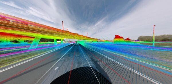
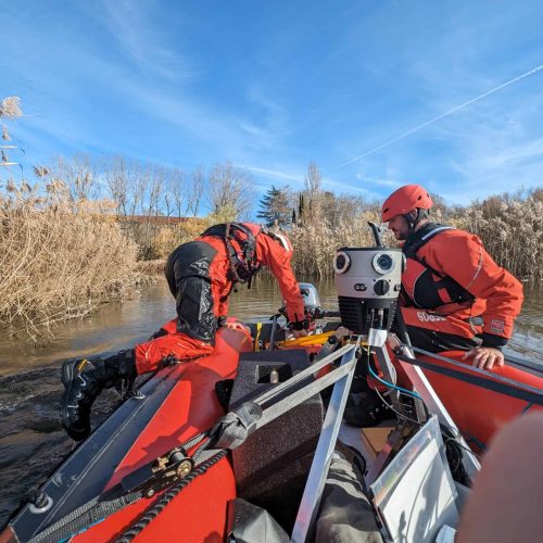
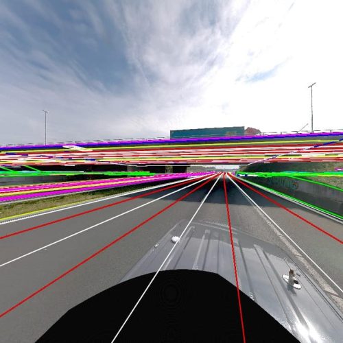
Using the camera and an external GNSS, we are able to consistently make measurements within half an inch of accuracy.

We can't express how much we love Mosaic. With responsive support and constant product improvement, it's been a game-changer for us. Plus, its compatibility with other systems allows us to customize for each project and capture great data!
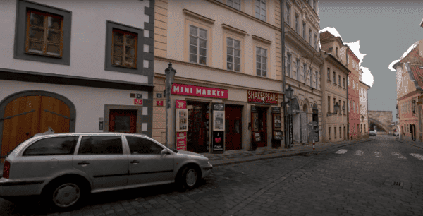
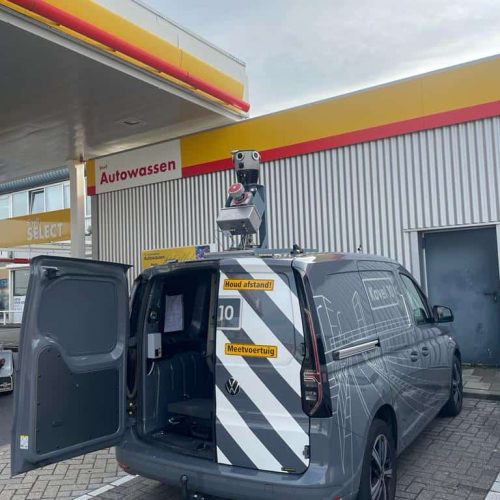
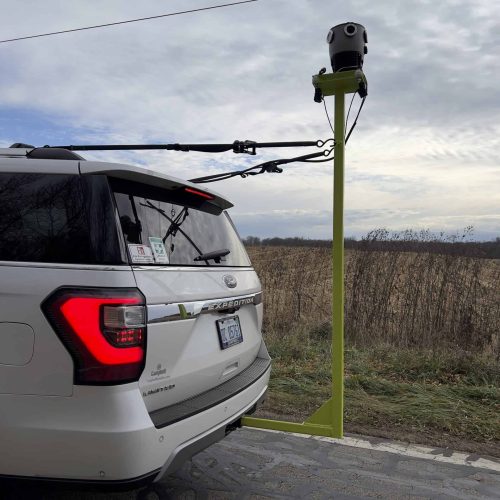
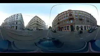
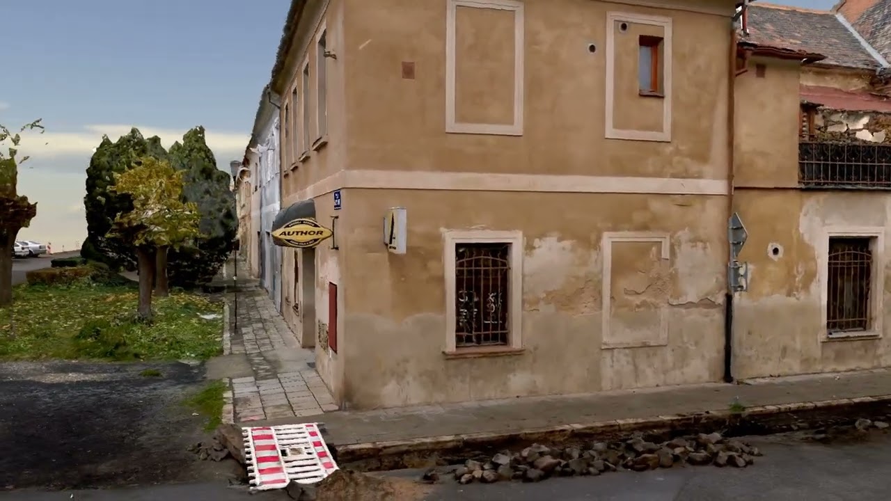
The addition of the Mosaic X cameras allows us to capture the urban environment with greater resolution and speed, which saves time, expense, and post-processing effort.
To be able to offer higher resolution and better image quality, we’ve added the Mosaic X to that system.
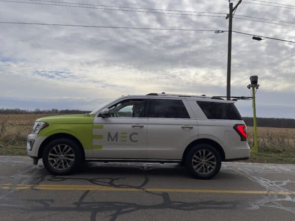
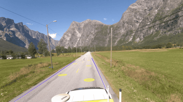
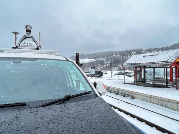
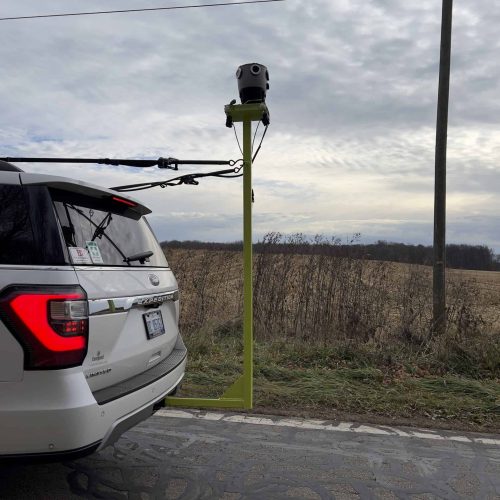
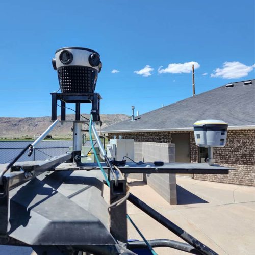
The Mosaic X is operating very well in harsh Nordic conditions; it operated well in North Norway in the middle of winter. In extreme conditions, it has proven how robust it is and it can cope with tough conditions.

I was pleased to see the great image quality that the global shutter sensors have brought to the Mosaic X.
Using the camera and an external GNSS, we are able to consistently make measurements within half an inch of accuracy.
We can't express how much we love Mosaic. With responsive support and constant product improvement, it's been a game-changer for us. Plus, its compatibility with other systems allows us to customize for each project and capture great data!
The addition of the Mosaic X cameras allows us to capture the urban environment with greater resolution and speed, which saves time, expense, and post-processing effort.
To be able to offer higher resolution and better image quality, we’ve added the Mosaic X to that system.
The Mosaic X is operating very well in harsh Nordic conditions; it operated well in North Norway in the middle of winter. In extreme conditions, it has proven how robust it is and it can cope with tough conditions.
![Exploring London's Hidden Gems with The Mosaic X [360 Mobile Mapping Camera]](https://img.youtube.com/vi/iswqOog-Ofg/maxresdefault.jpg)
![[Cesium plugin for Unreal Engine 5] 3D Model Dataset collected by Mosaic X 360 camera](https://img.youtube.com/vi/EuboE-RZ1fE/maxresdefault.jpg)
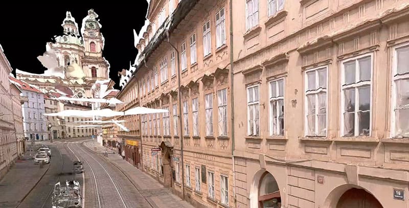
![3D Model Dataset collected by the Mosaic X camera [100% photogrammetry] No LiDAR](https://img.youtube.com/vi/fcBpvvy9I3g/maxresdefault.jpg)
![[Unreal Engine 5] 3D Model Dataset collected by Mosaic X 360 camera](https://img.youtube.com/vi/ovoOqk7_3P4/maxresdefault.jpg)
![3D Model Dataset collected in 48 sec by Mosaic X 360 camera [100% Photogrammetry]](https://img.youtube.com/vi/2S0RNWmjxOQ/maxresdefault.jpg)

![Night Boston captured by the Mosaic X - 360º Mapping Camera [Watch in 4K]](https://img.youtube.com/vi/-wDyG1MMWq8/maxresdefault.jpg)

