
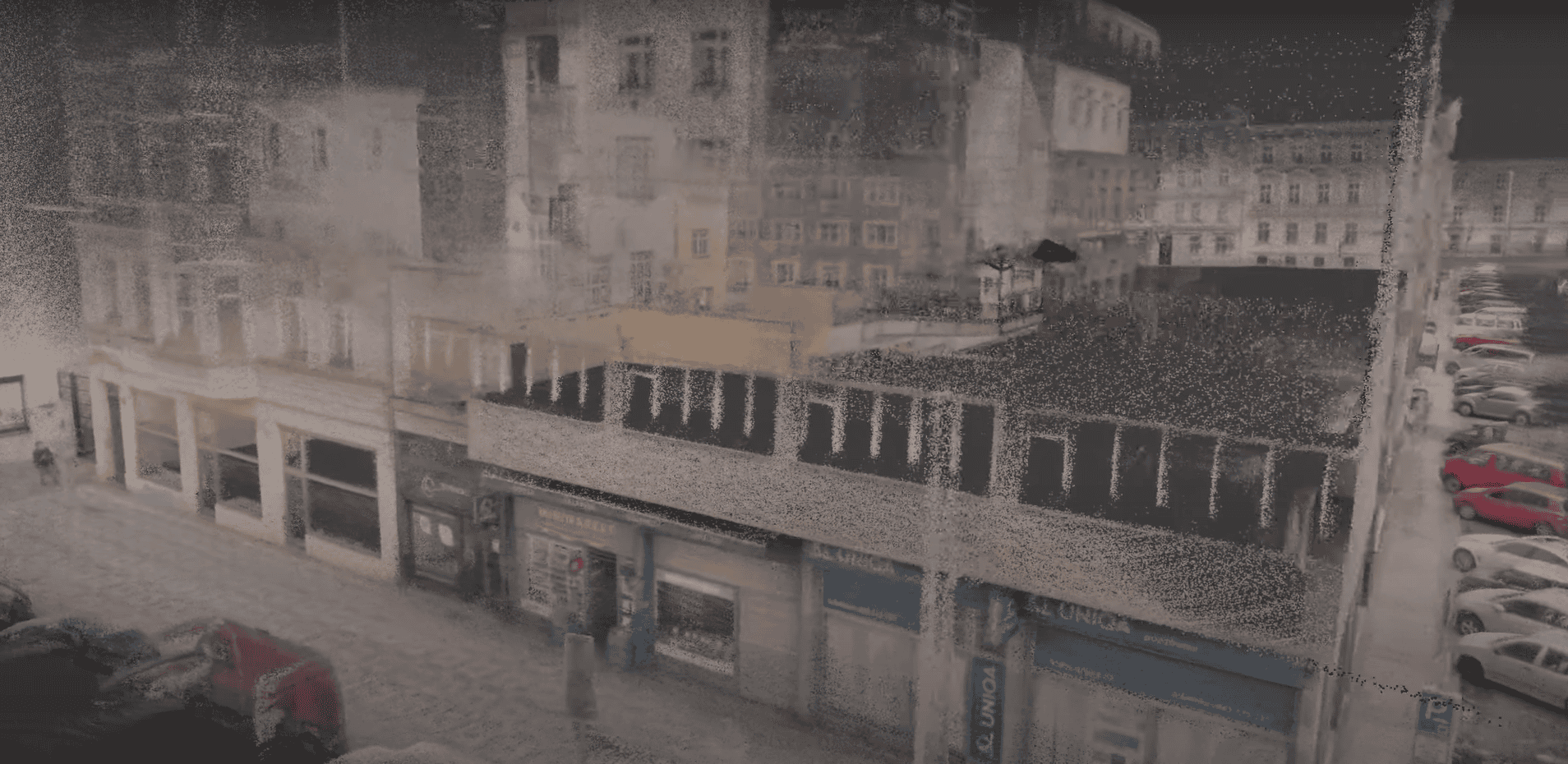
Reality Capture with the Xplor at MERO Crude Oil Facilities
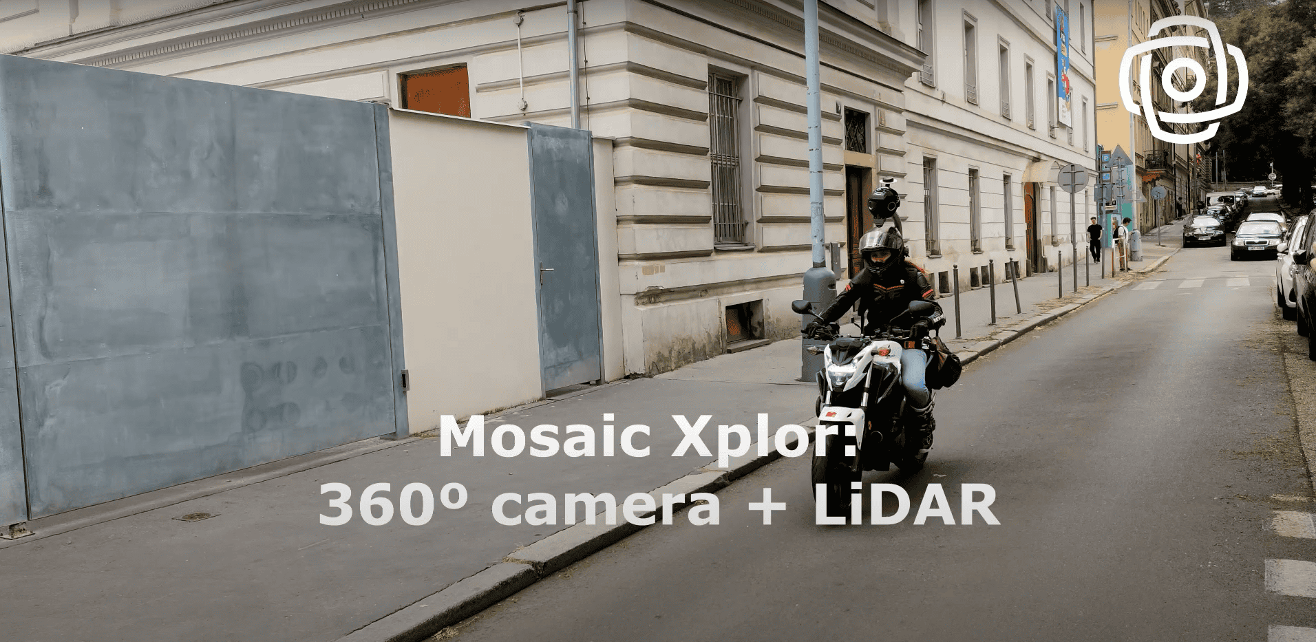
Watch the Mosaic Xplor conduct fast, accurate 3D scans of difficult-to-reach environments.
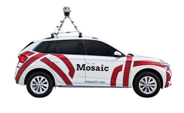
Watch the Mosaic Xplor conduct fast, accurate 3D scans of difficult-to-reach environments.
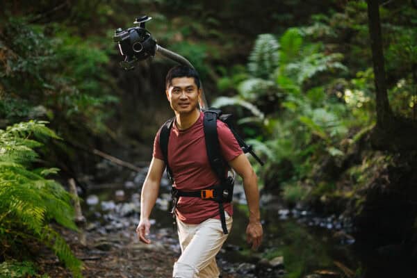
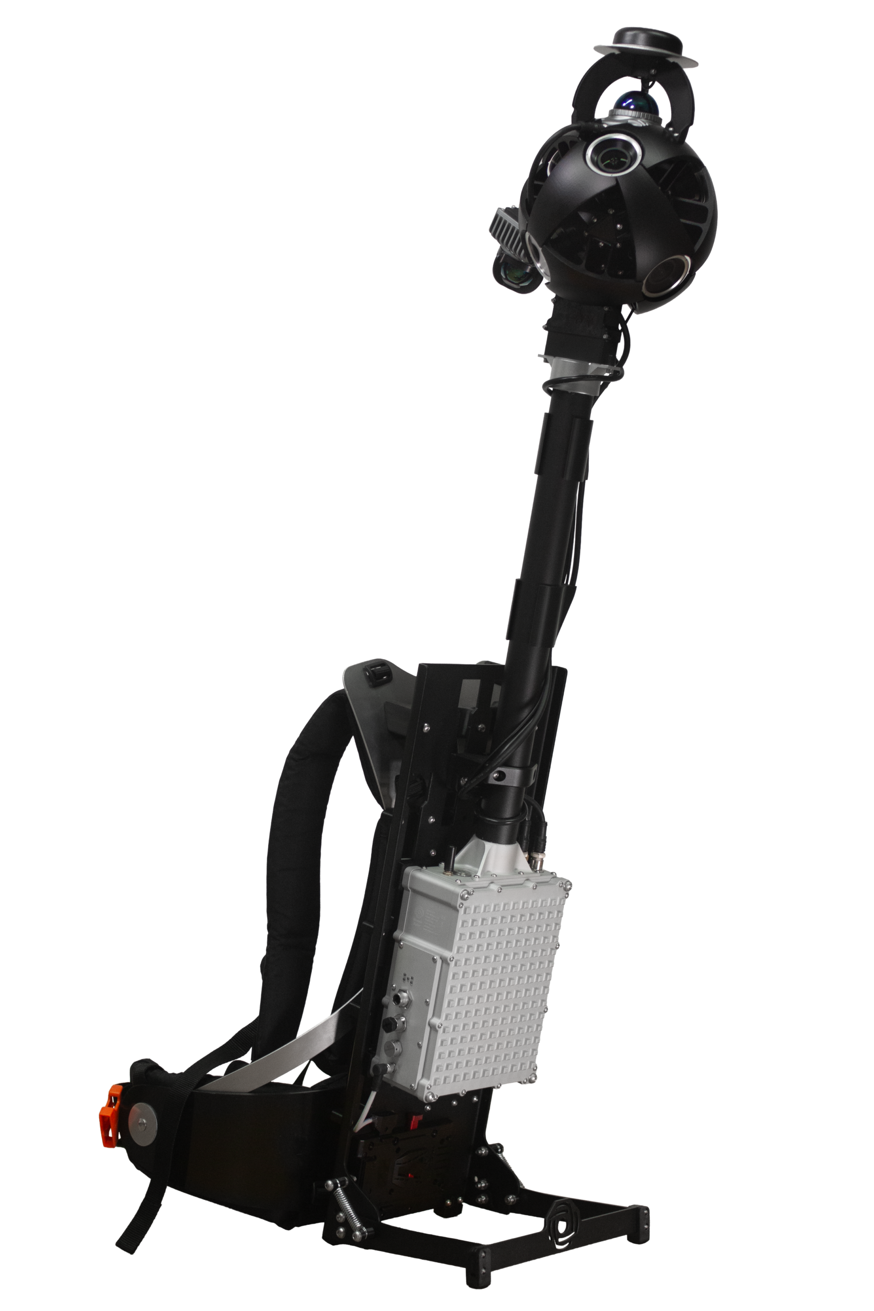
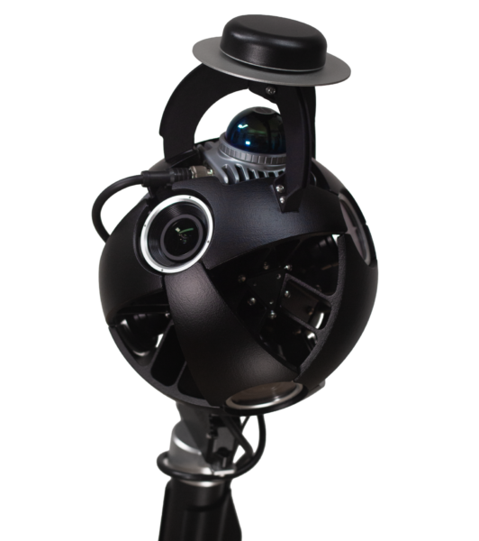
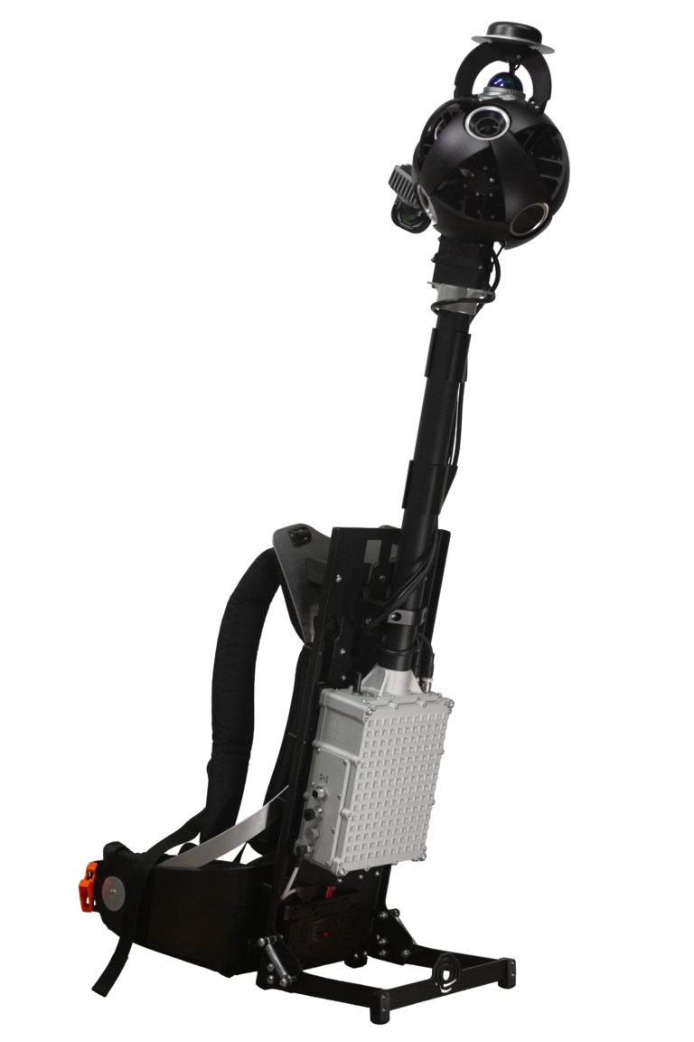
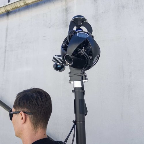
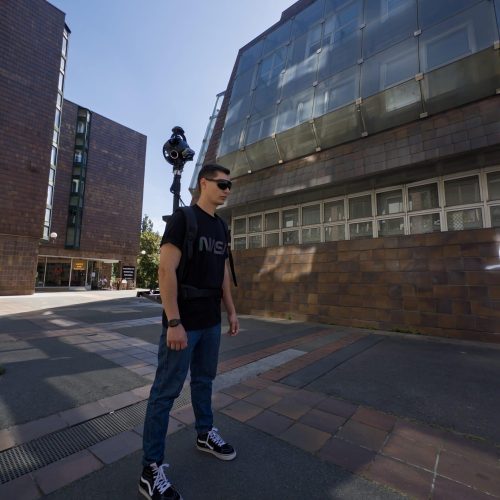
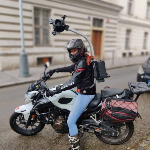
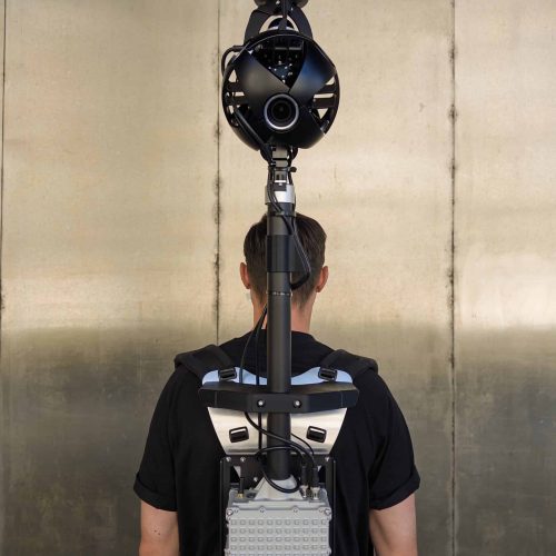
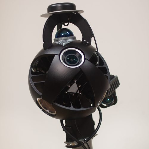
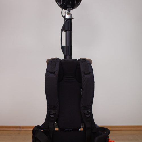
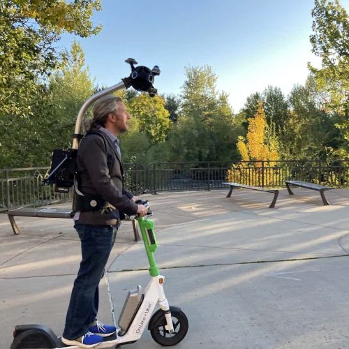
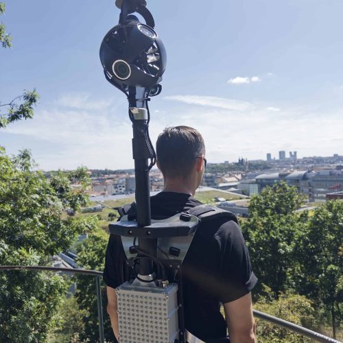
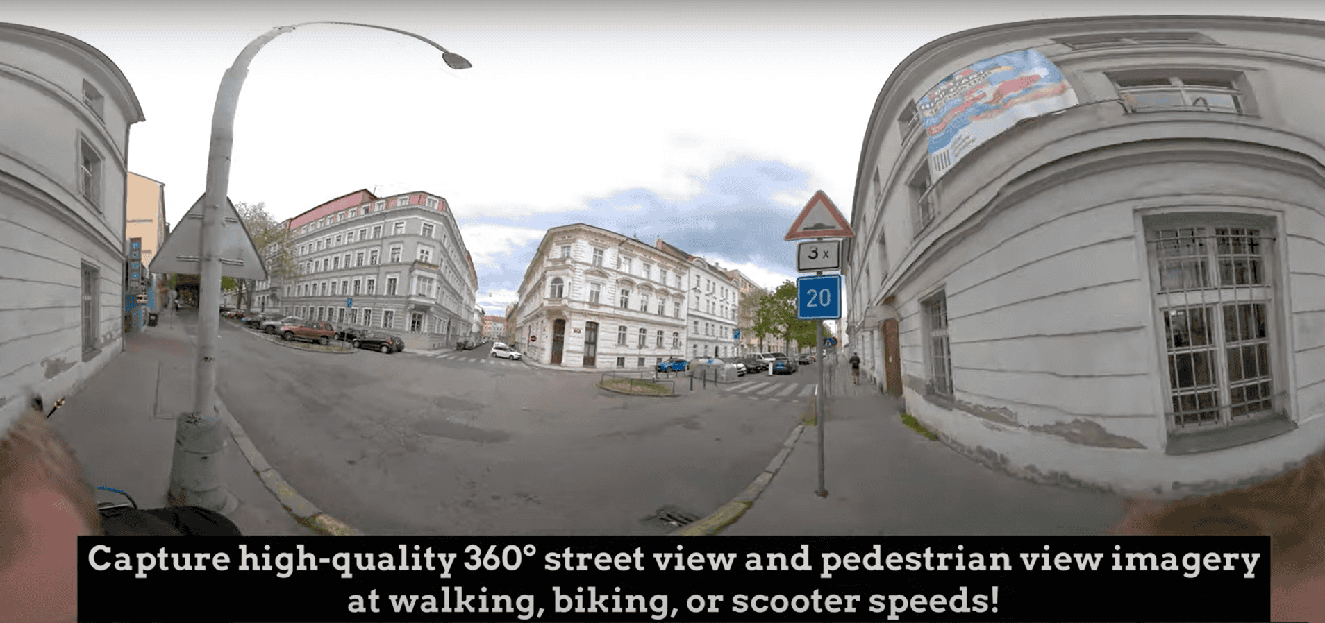
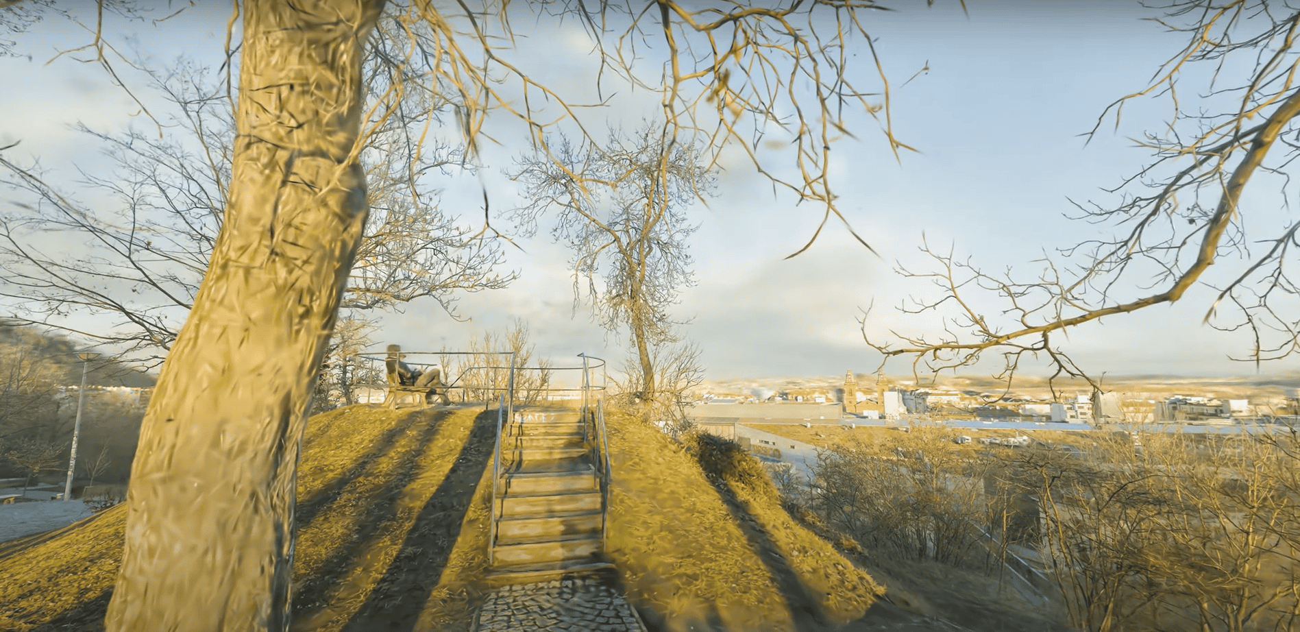
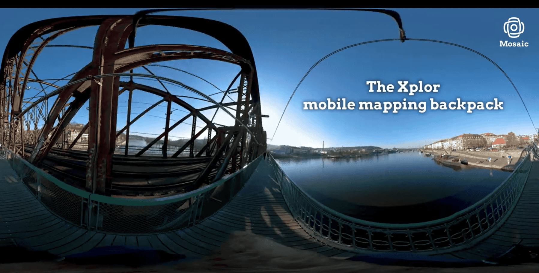
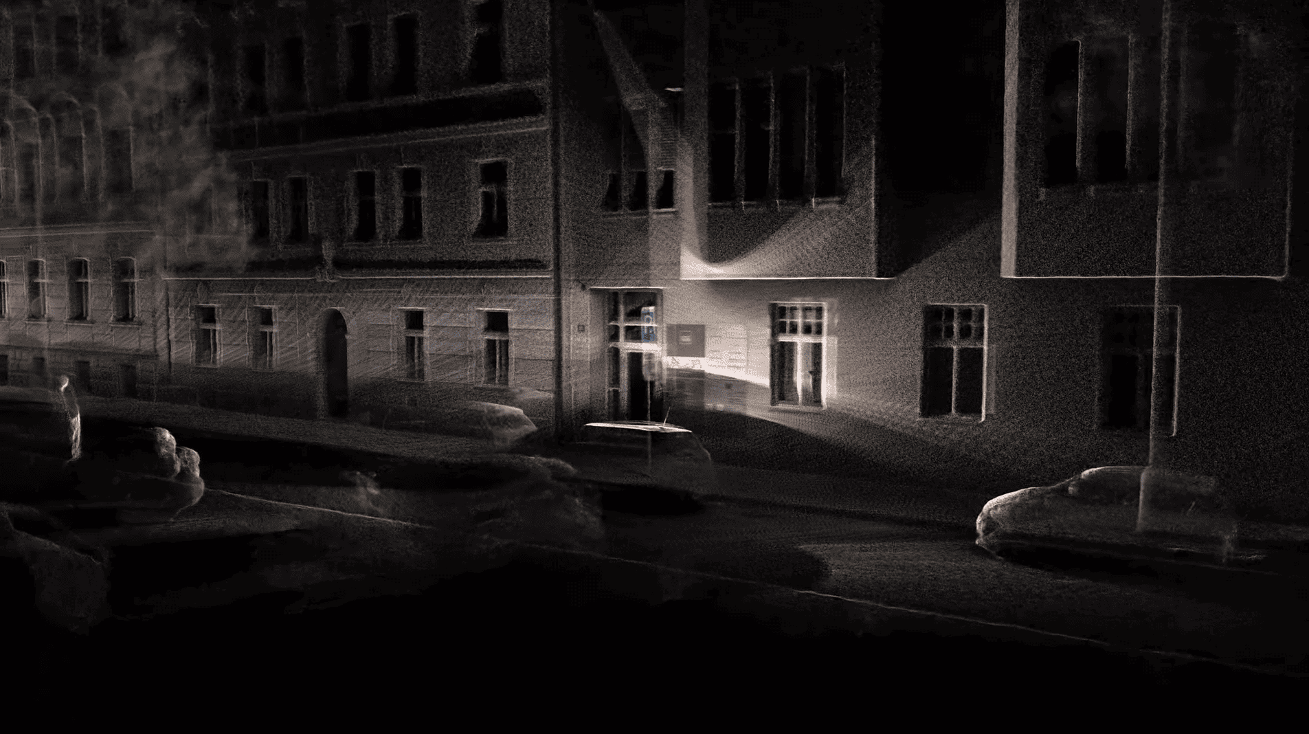
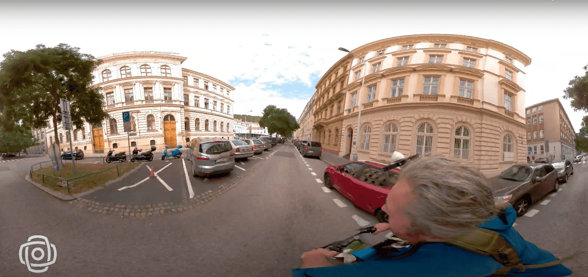
Discover how 360° camera and LiDAR backpack technology overcomes the limits of traditional reality capture devices, providing high-resolution data even in the most challenging environments.
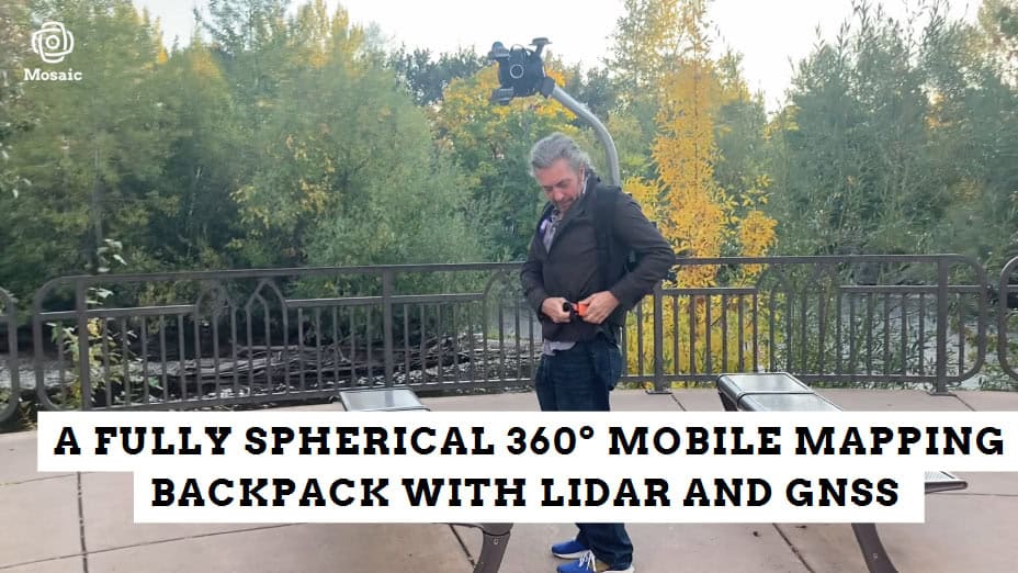
An Emmy-winning VFX supervisor reviews the Mosaic Xplor, highlighting its innovative design and impact on the VFX industry. This portable 360° scanning backpack, with high-resolution cameras and LiDAR, excels in capturing detailed imagery in challenging areas.
")
")


